
Saline Valley
|
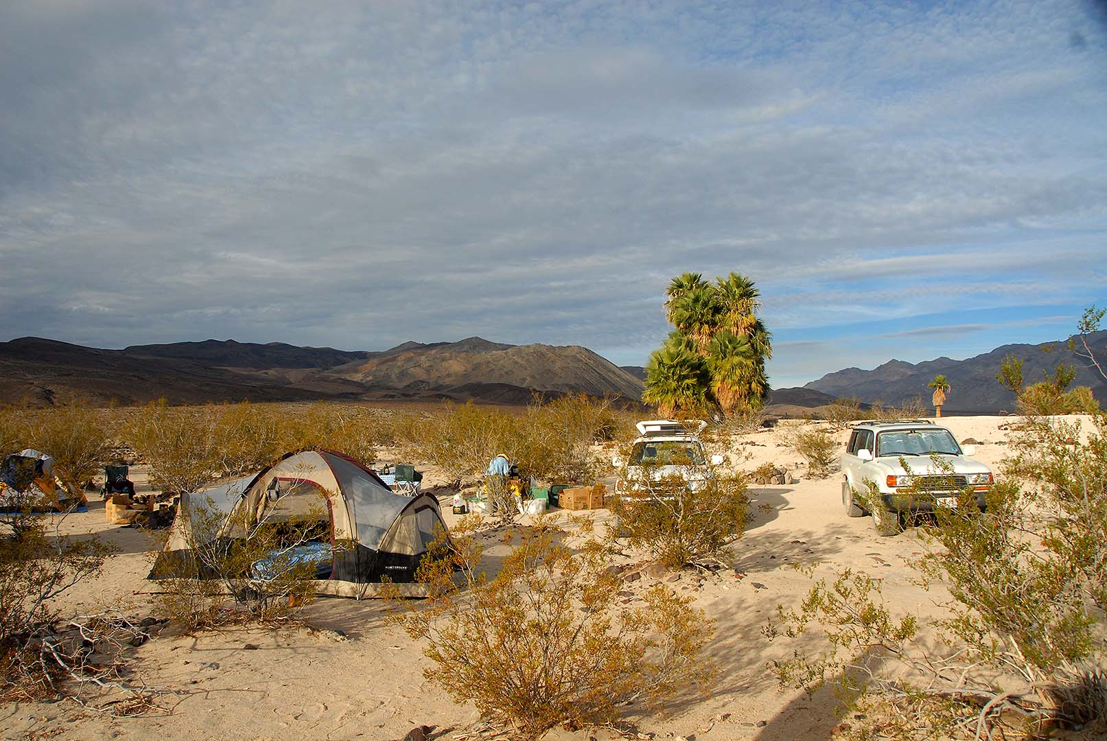
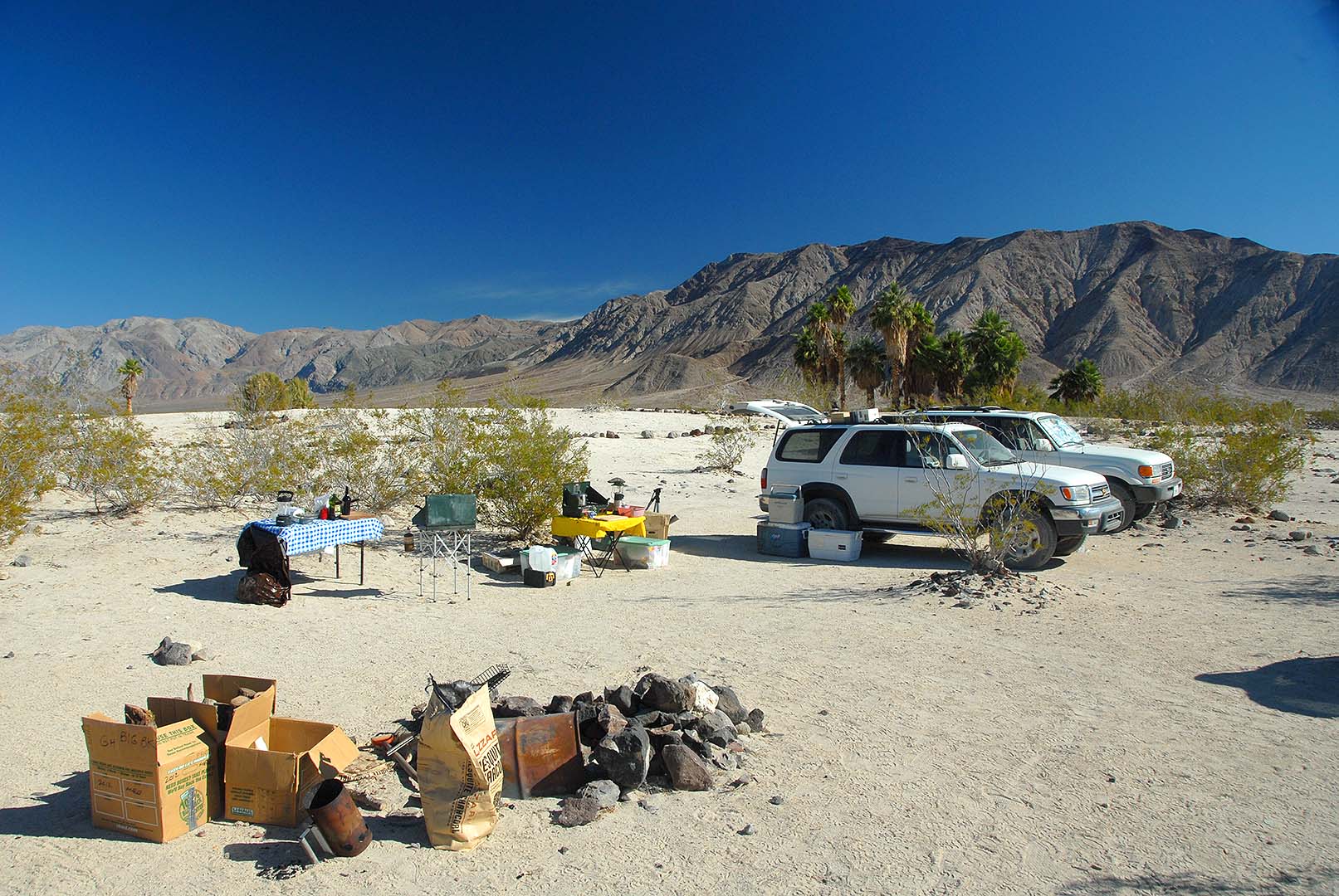
I arrived at Palm Spring Camp in the Saline Valley with friends on Monday, November 17 at sunset. We set up camp and stayed until Friday, November 21.
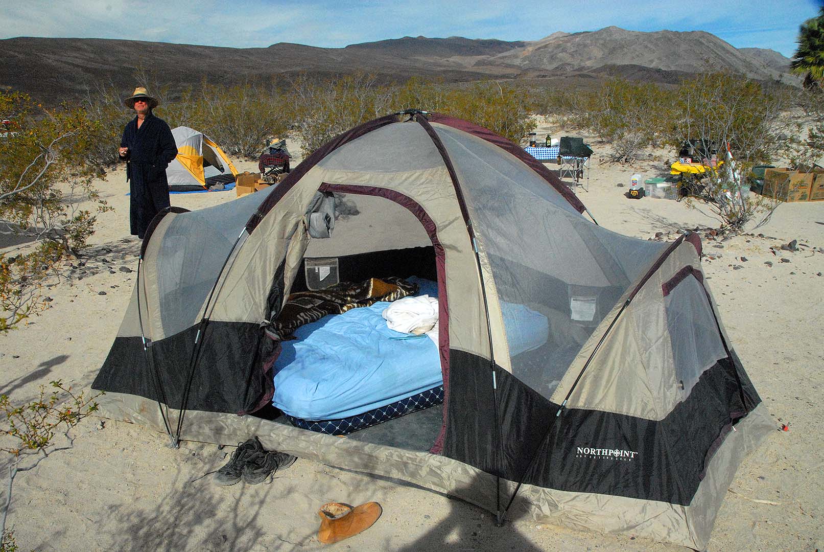 In my tent I stack two queen-size airbeds. I make a proper bed with sheets, blankets and pillows.
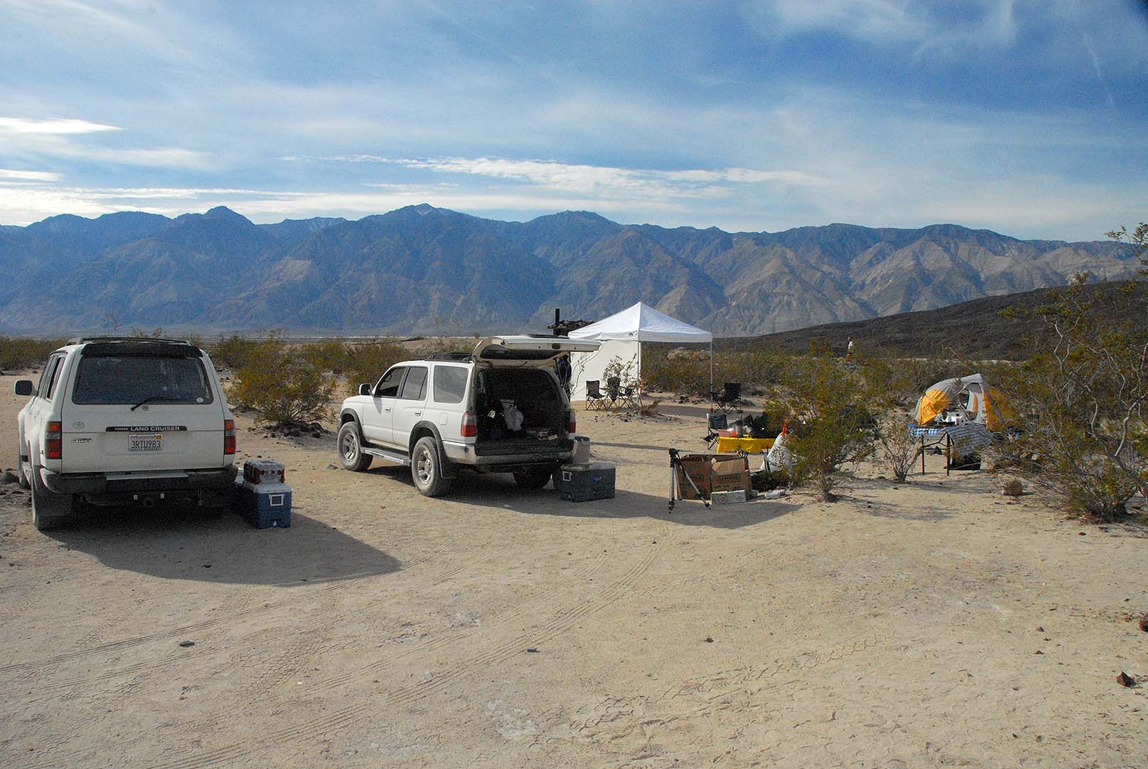
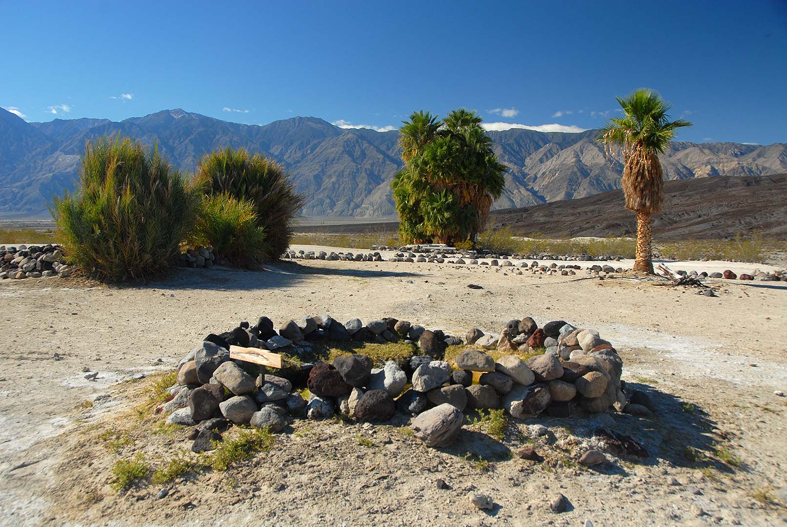
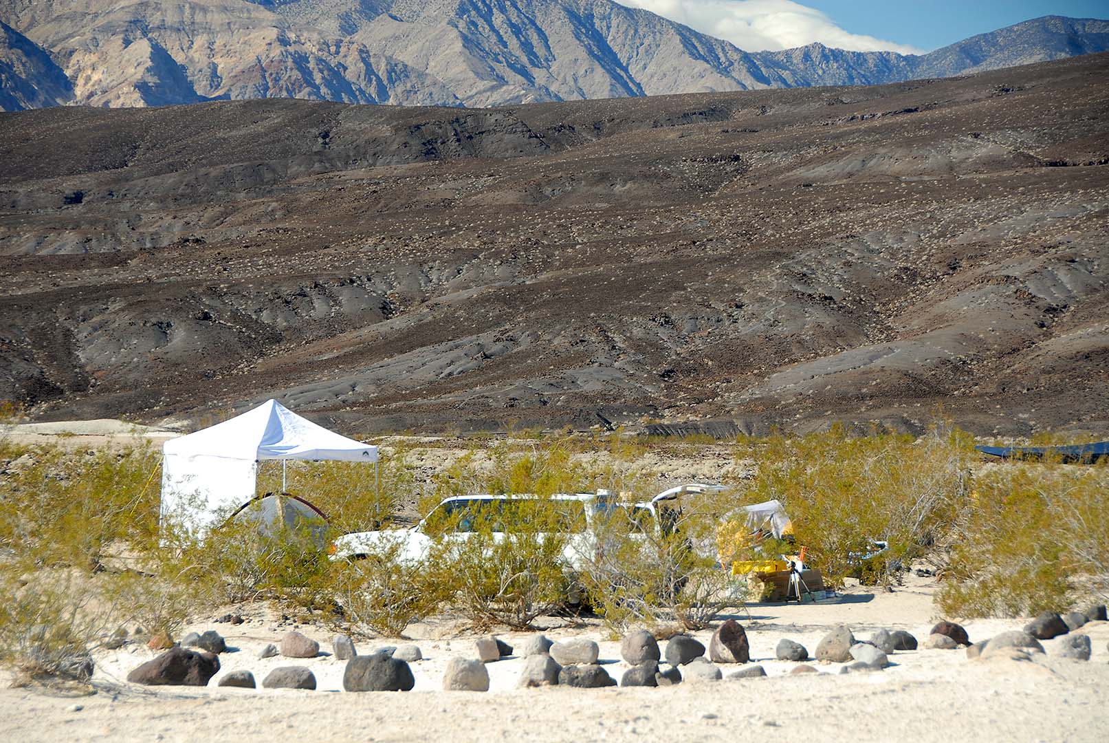
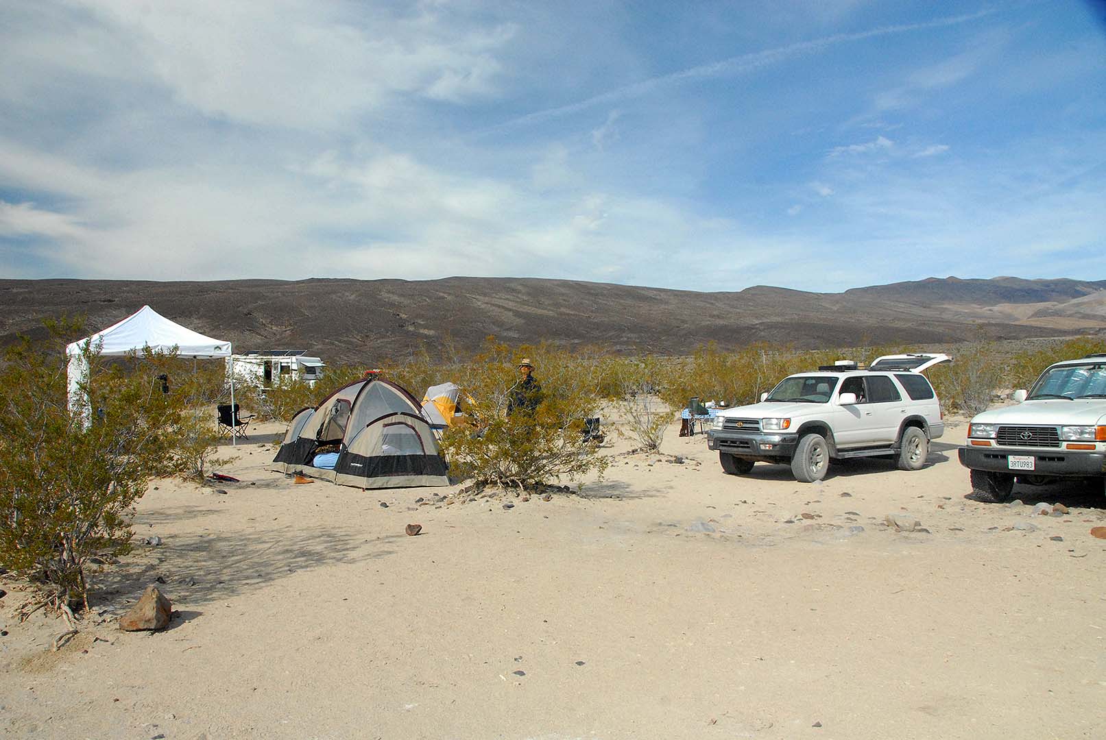 Our campsite in Palm Spring Camp.
 The outhouse is visible on the other side of our camp.
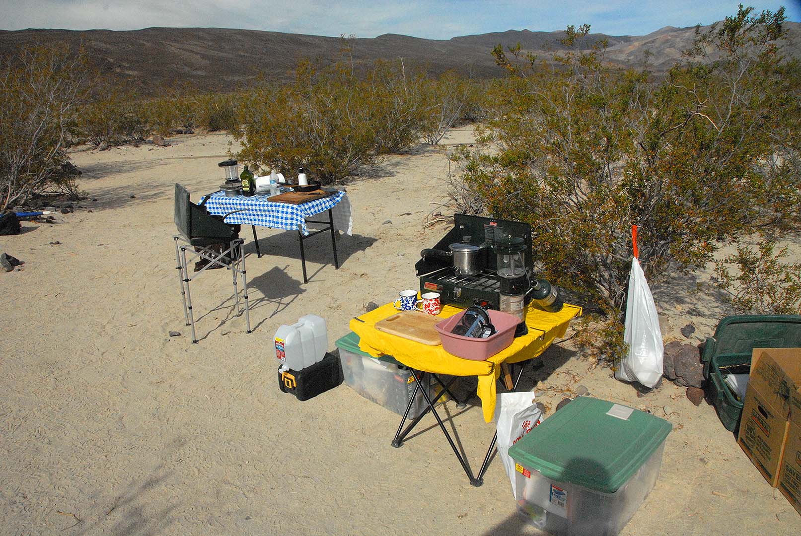 In our camp kitchen we have two tables and two stoves.
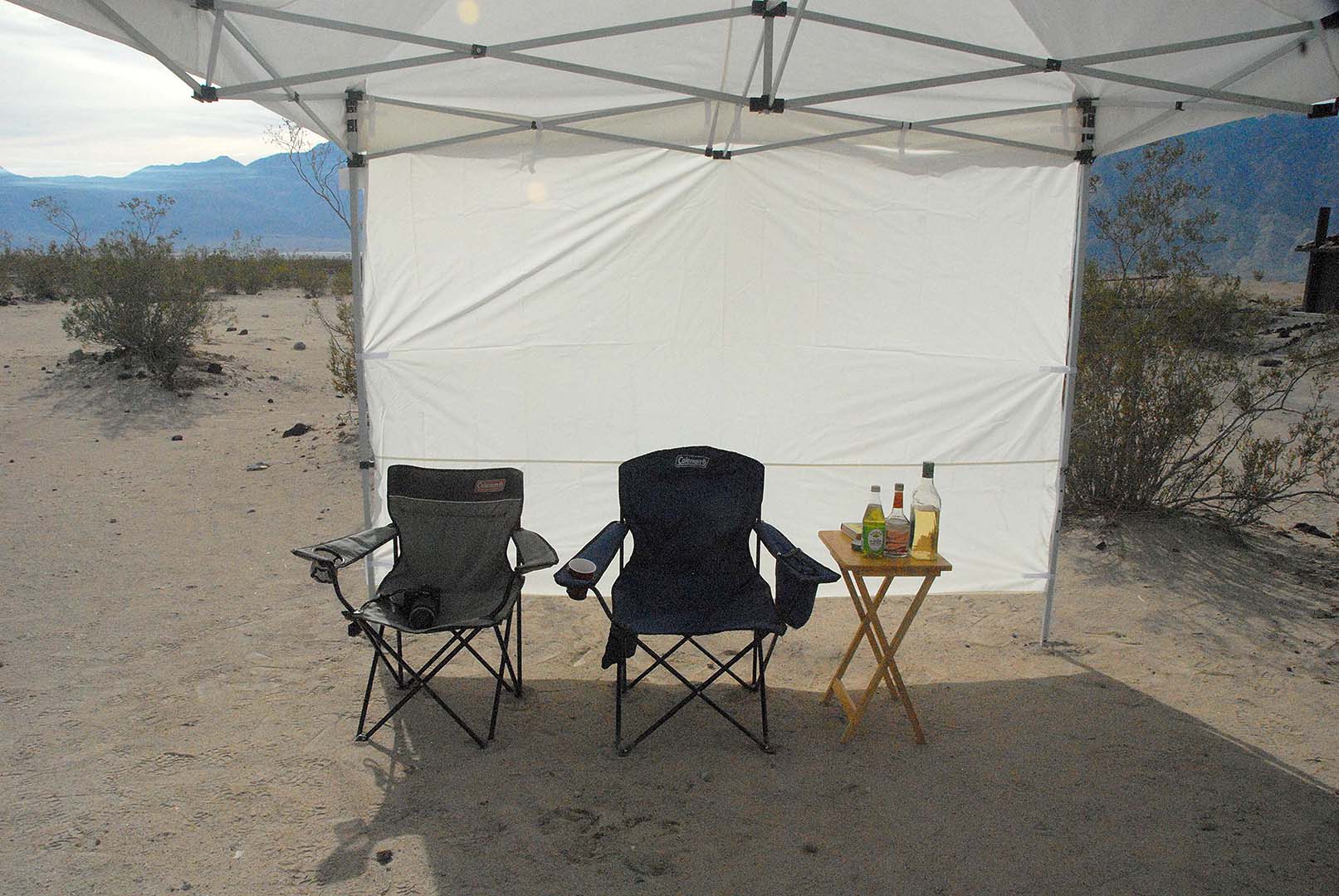 I bring a 10-foot by 10-foot canopy for shade.
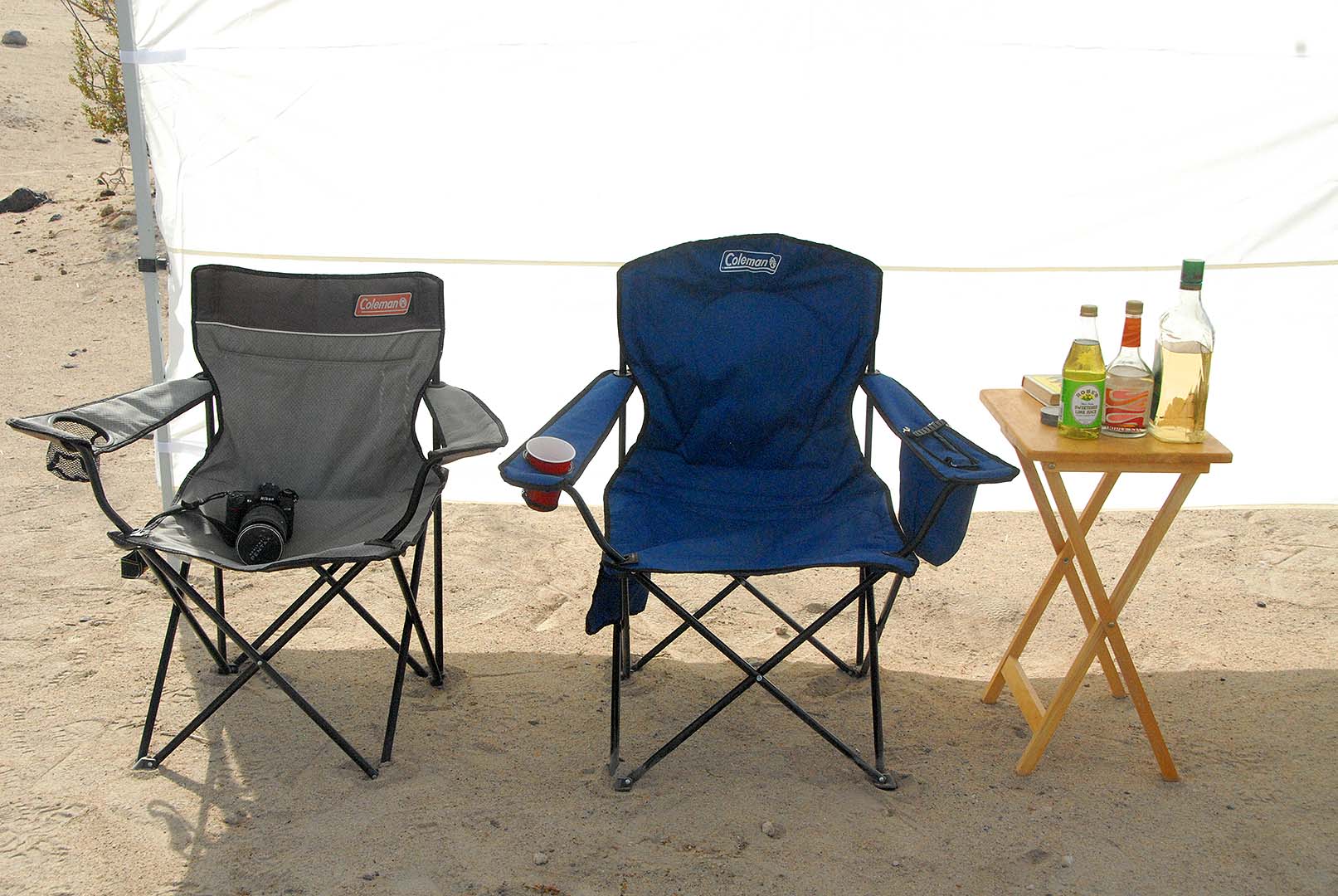 Our camp has a mini bar.
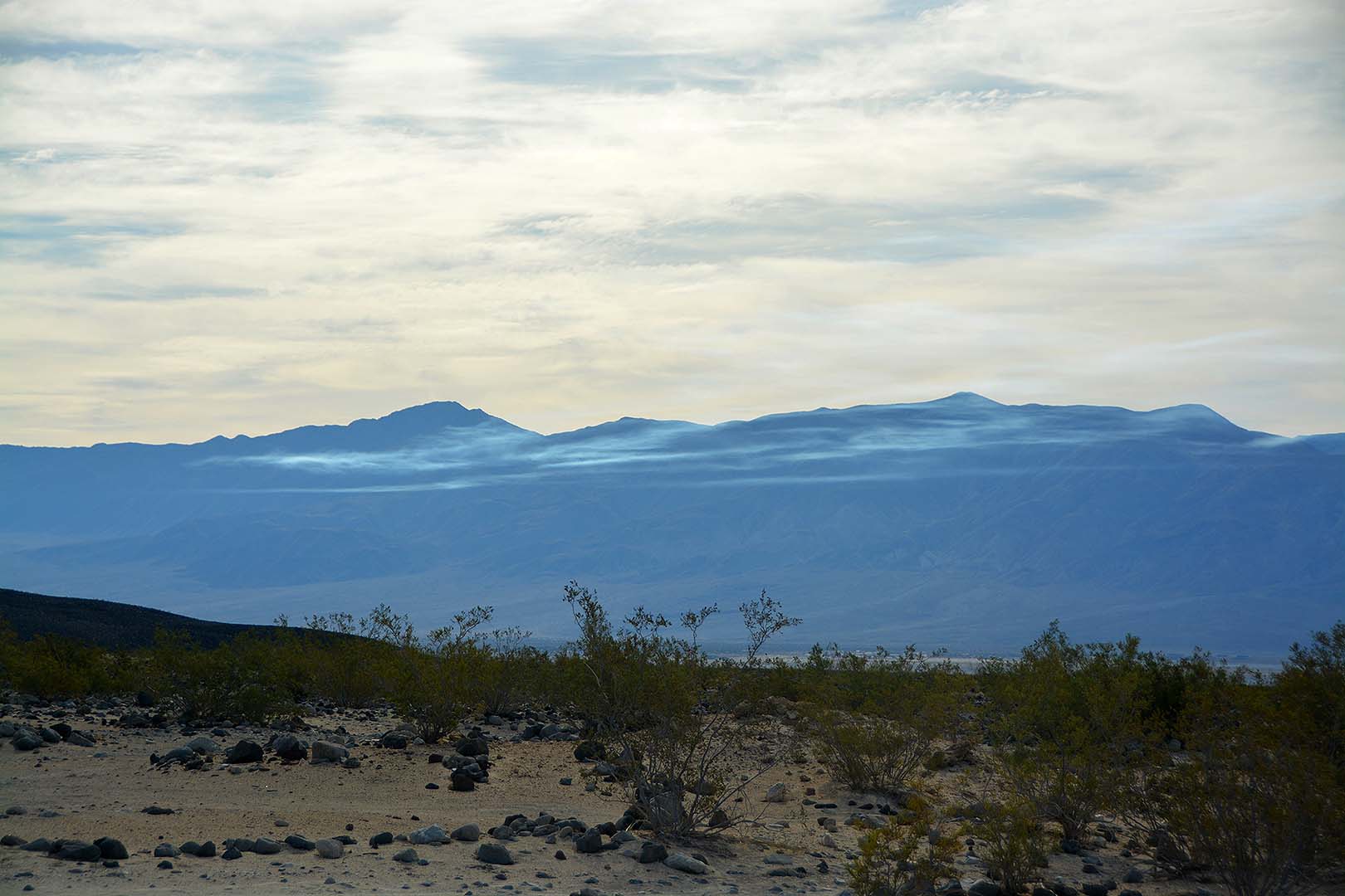
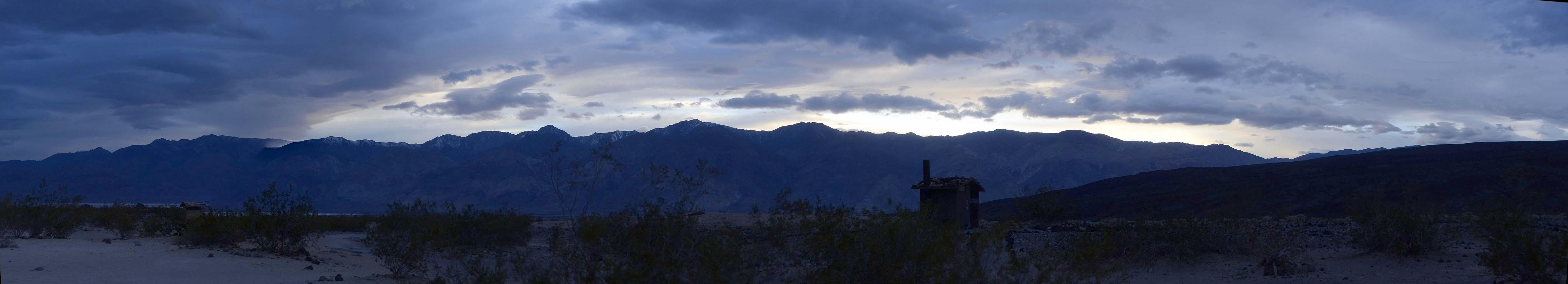
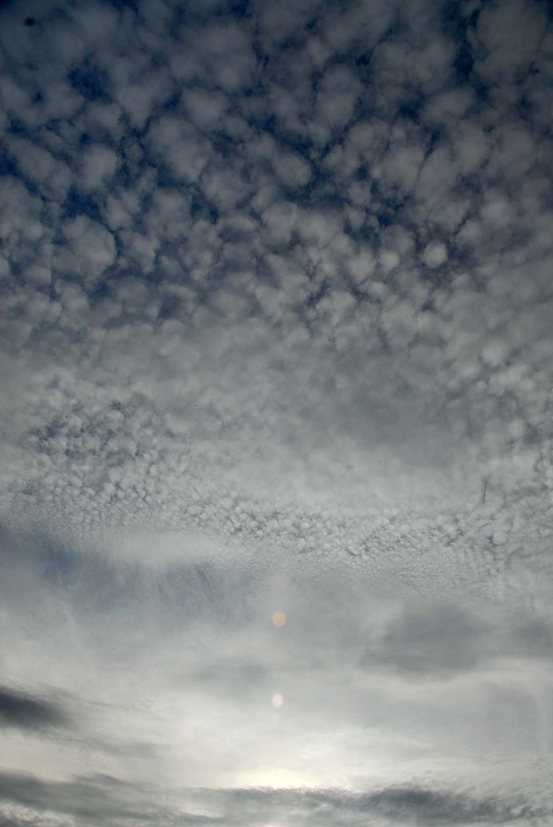 Afternoon clouds.
 Afternoon clouds.
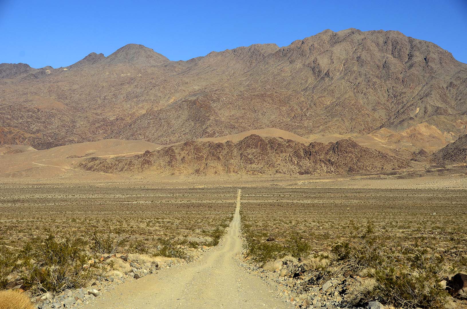
 Palm Spring Camp.
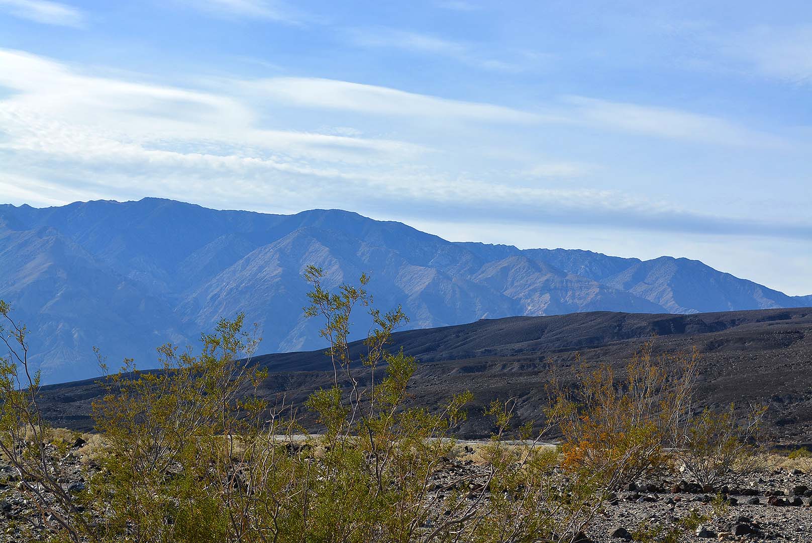
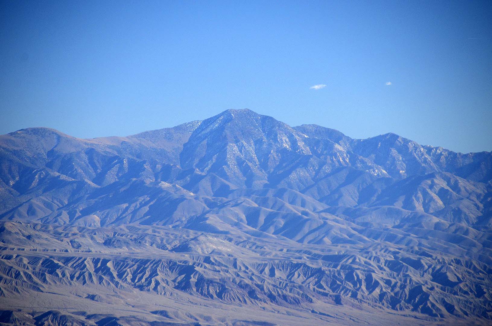
 Late afternoon sun on the mountains.
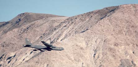
 A flight of military jets flew through the valley trailing smoke like they were practicing for an airshow. I have never seen this activity in the valley before.
 Smoke Trails
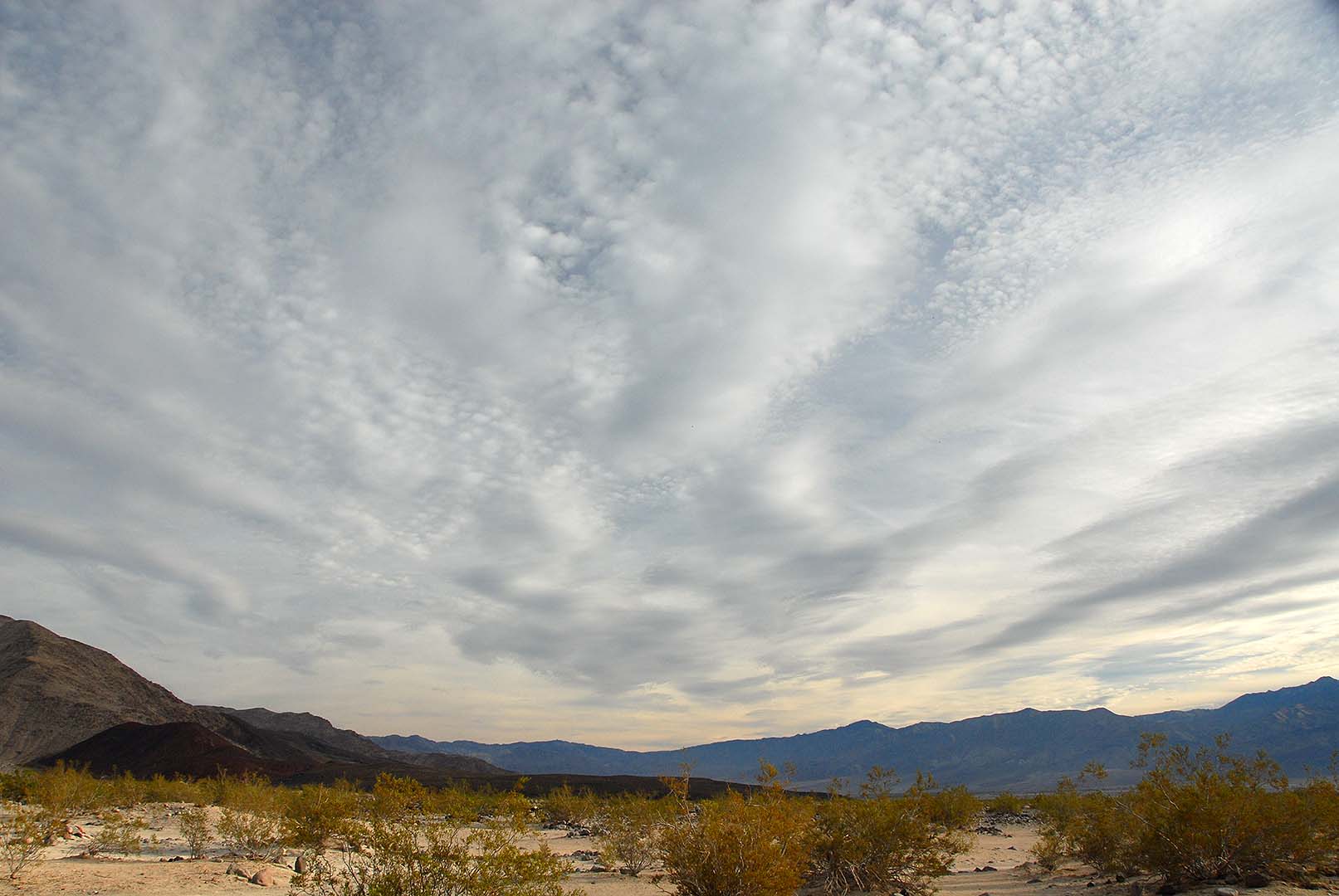
 Wave clouds form above the mountains in the afternoon.
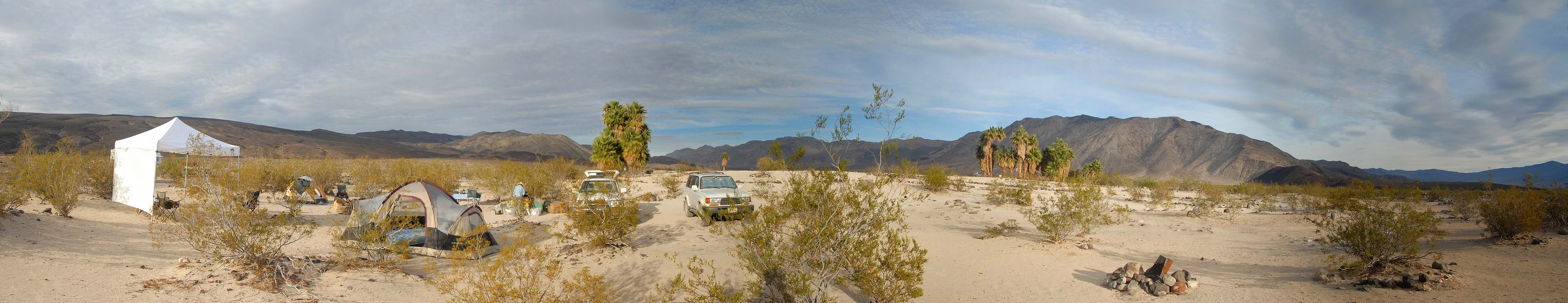 Panorama of our camp at Palm Spring.
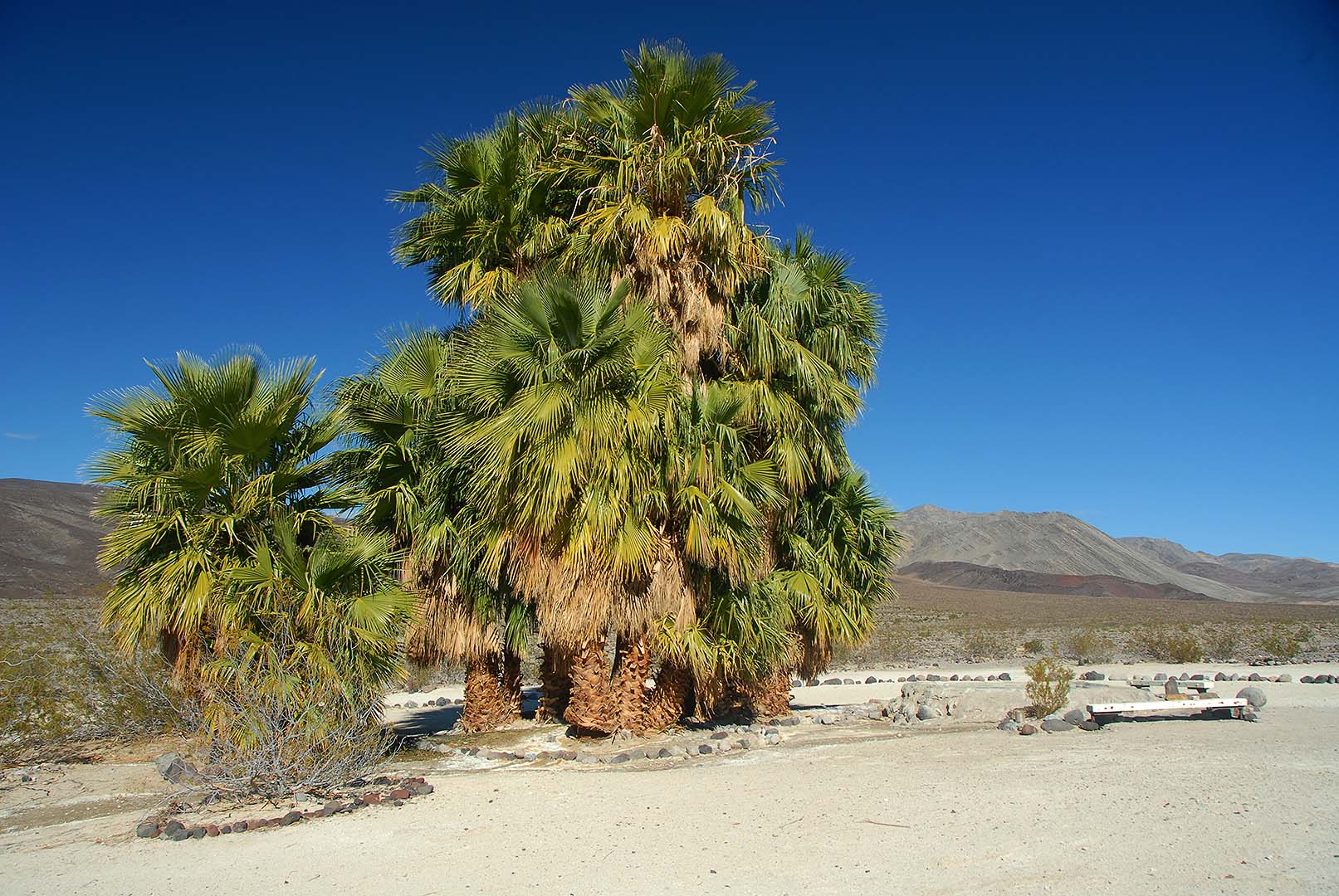
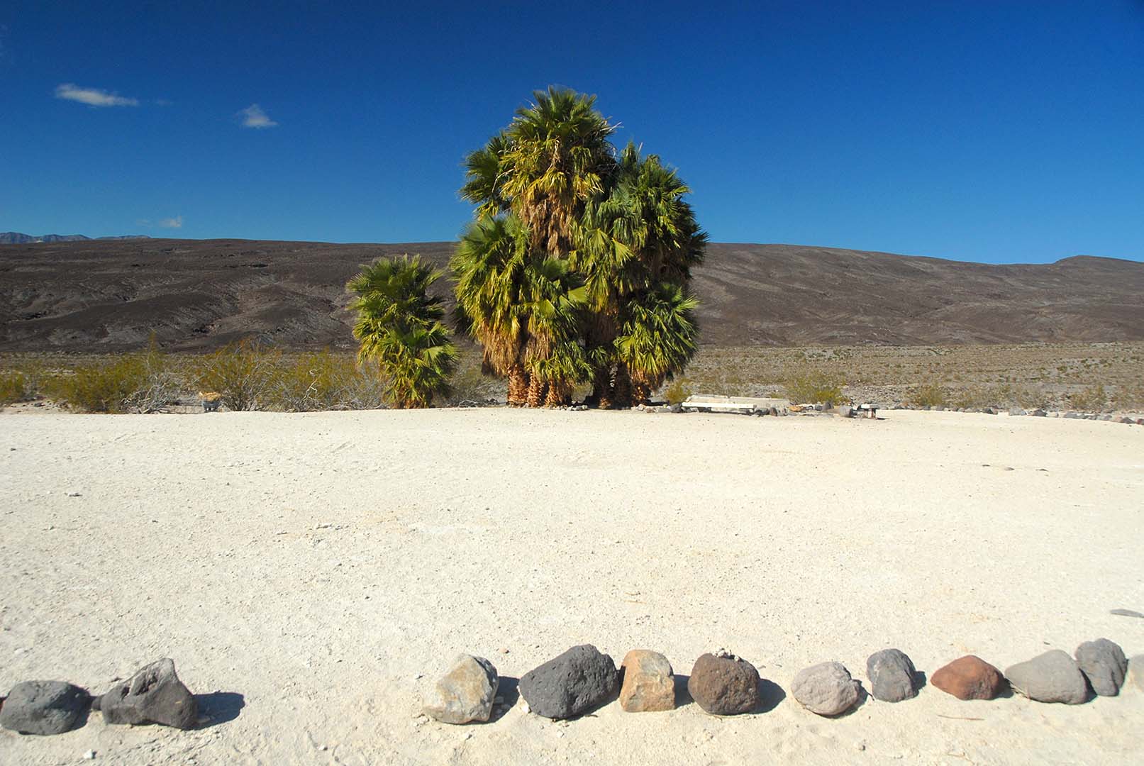
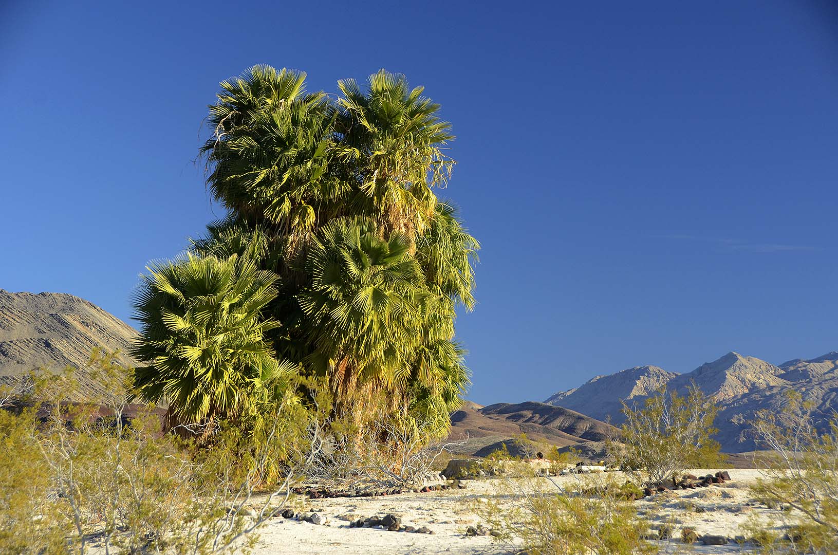
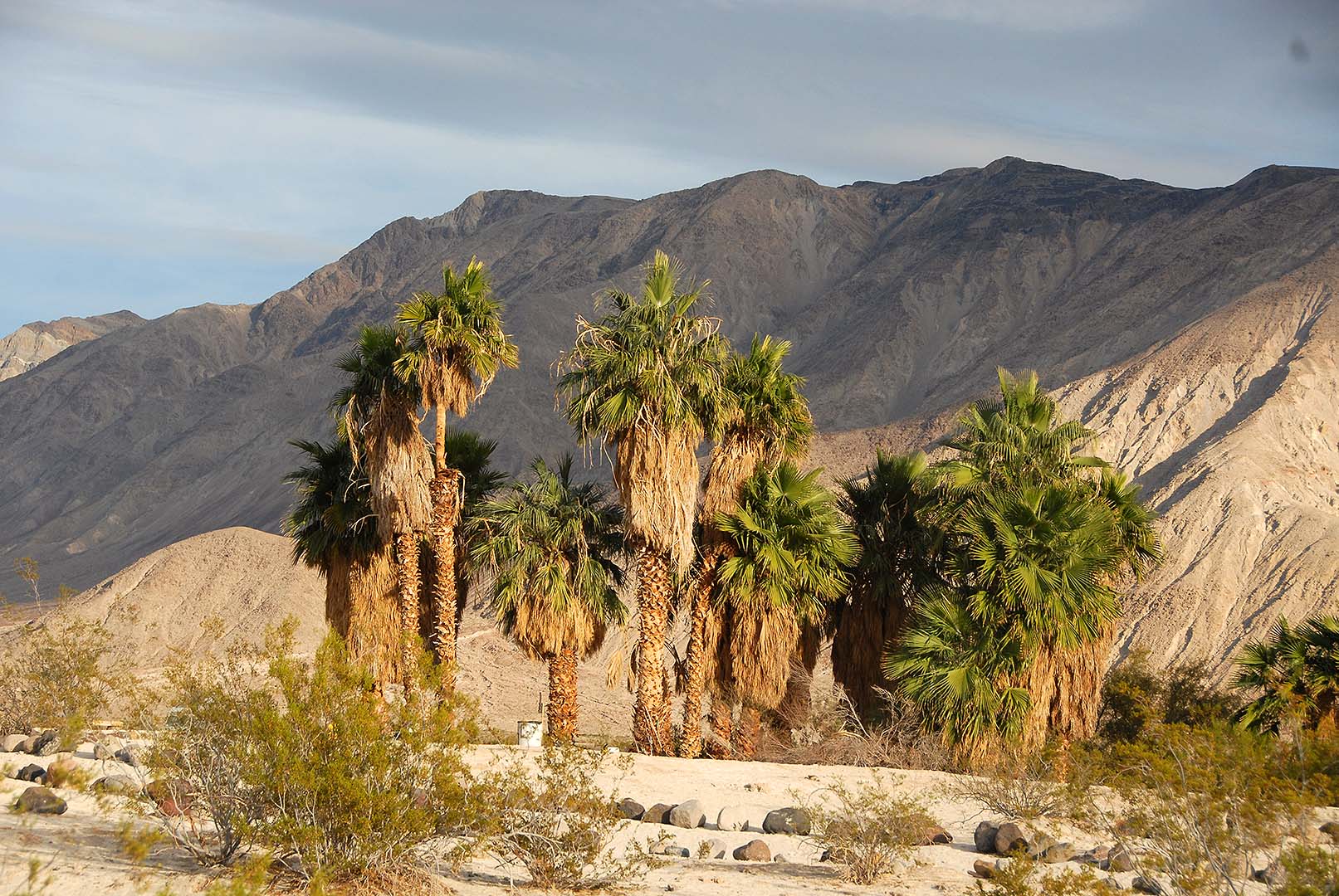 A small grove of Palm Trees grows in camp.
 Morning in camp.
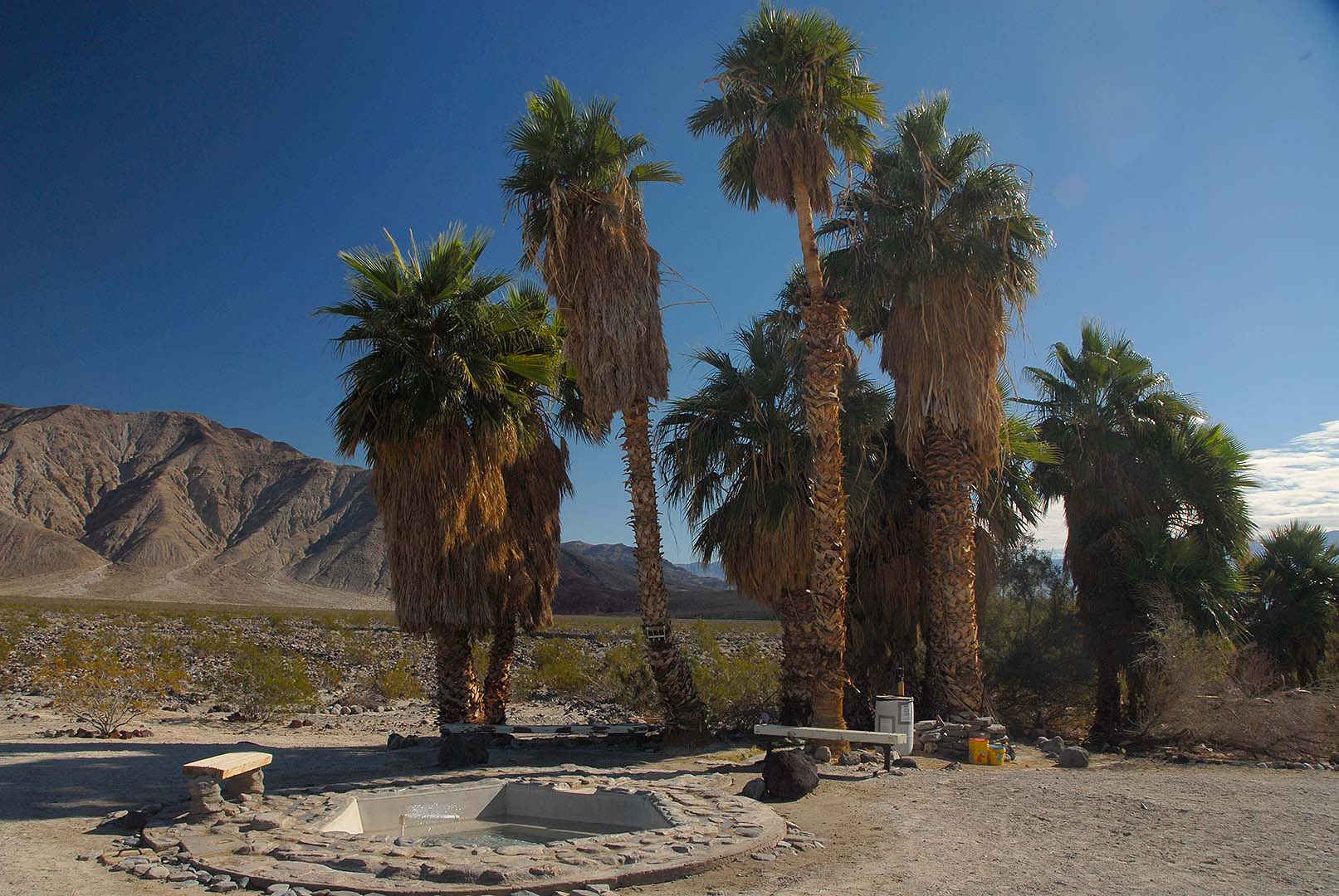
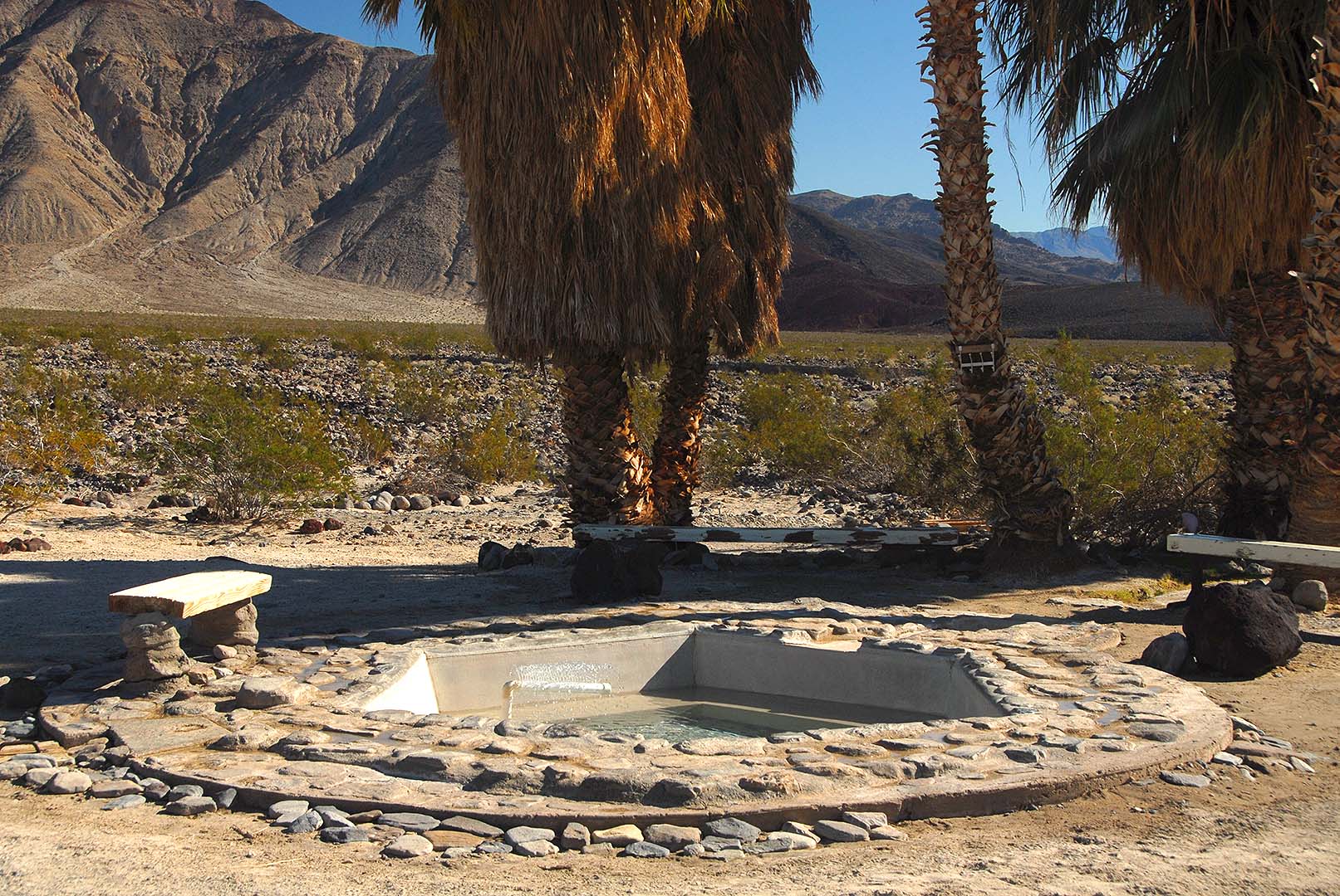
 Another cluster of Palm Trees grows next to the Volcano Pool. Inside the circle of trees, it is always shady and cool.
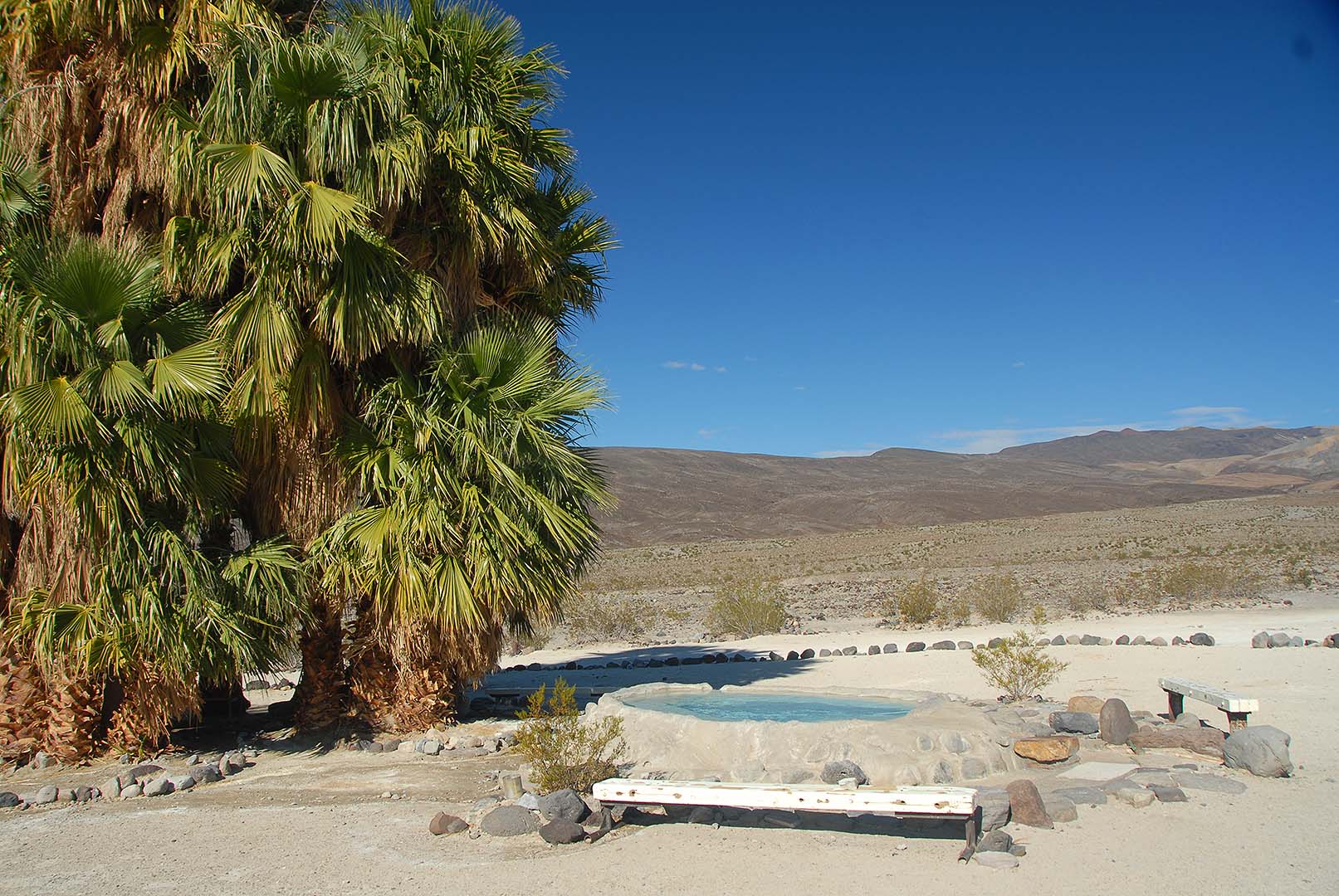 Volcano Pool.
 Volcano Pool.
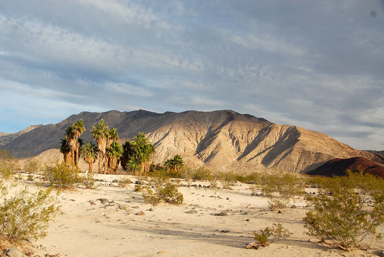
 The original hot pool. Palm Spring was named for the native palms in the background of this picture. All the other palms are non-native.
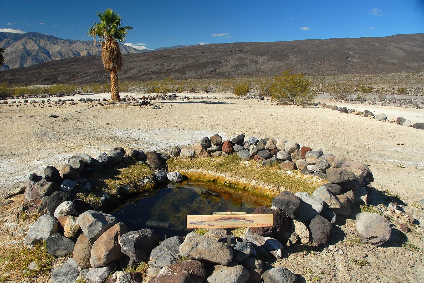 The source of the hot water is 117 degrees F.
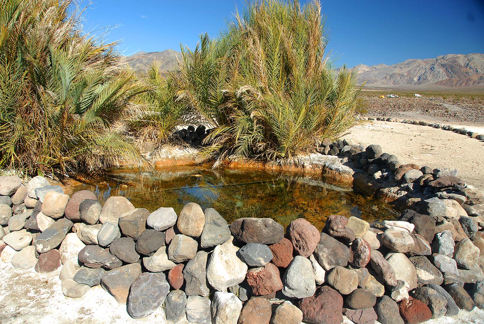
 Source Pool.
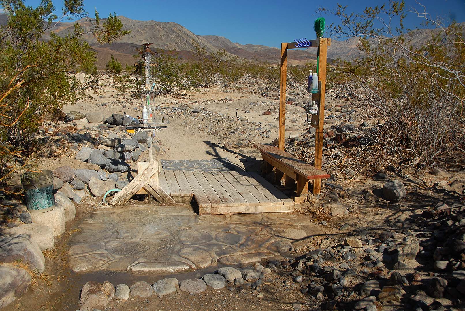
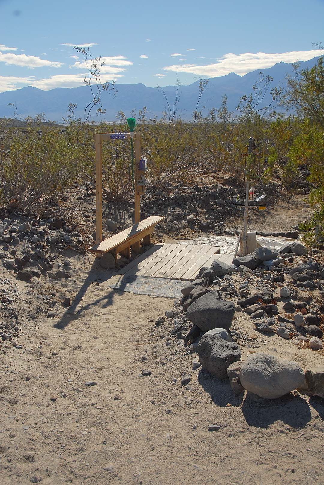 The camp shower is equipped with a wooden deck for changing and a flagstone floor. The coat rack is a relatively new addition. Users bring extra soap, shampoo and cleaning materials to maintain the shower.
 Camp shower
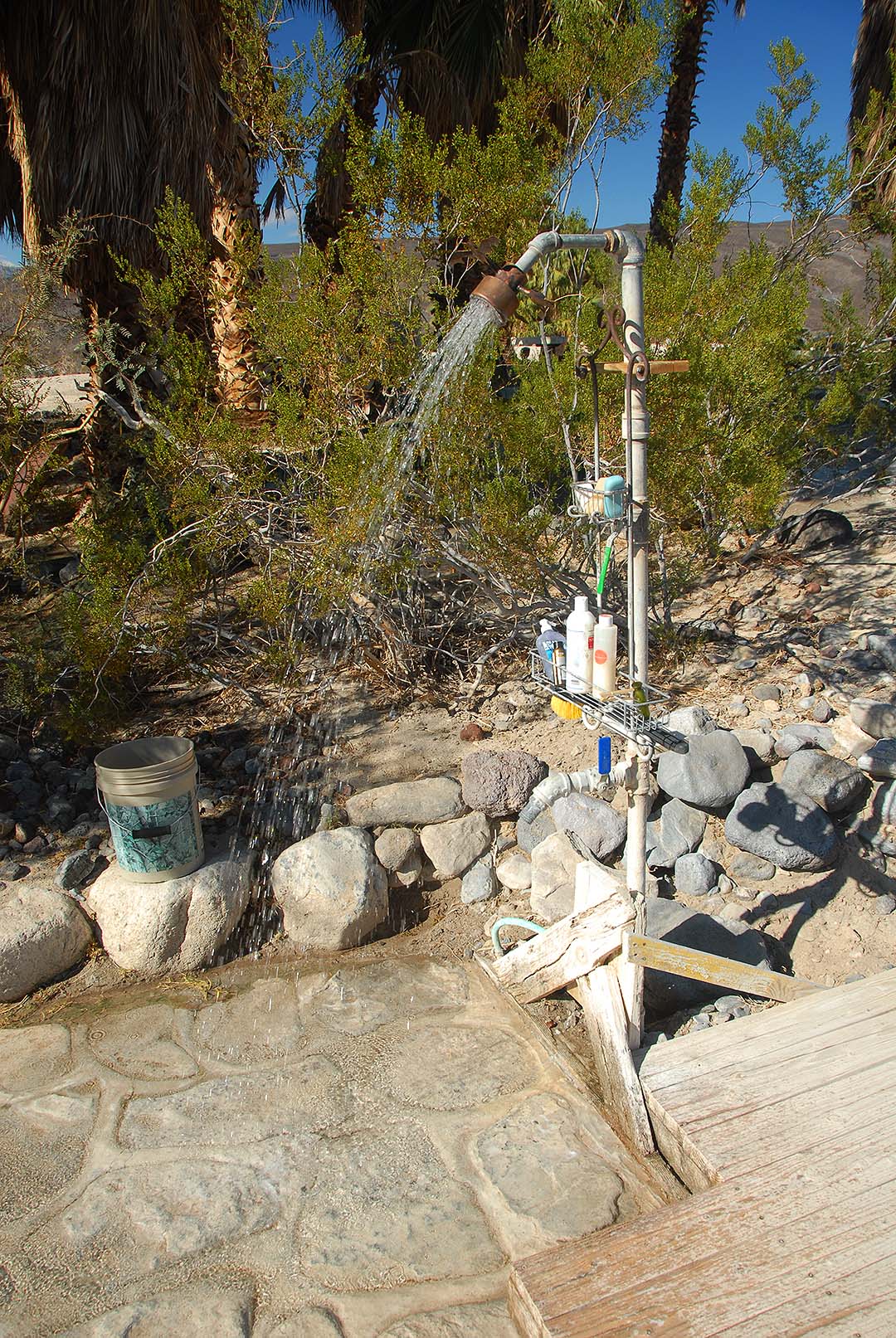 The shower is running in this picture. It takes a while to warm up, but it puts out enough hot water to keep you warm in a stiff breeze.
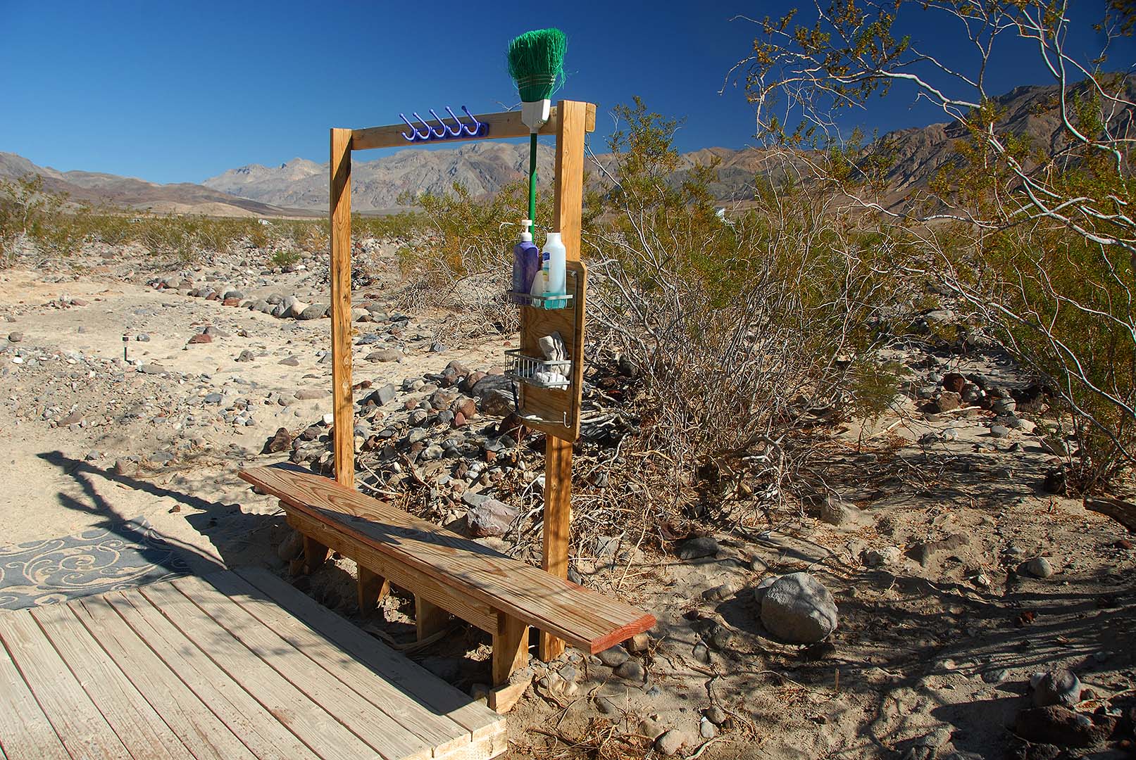 Shower changing bench and bathrobe rack.
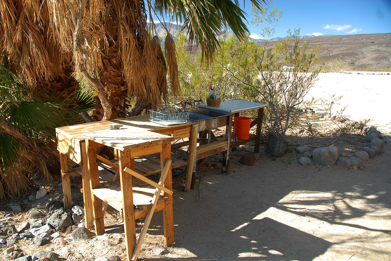 The camp sink has hot running water.
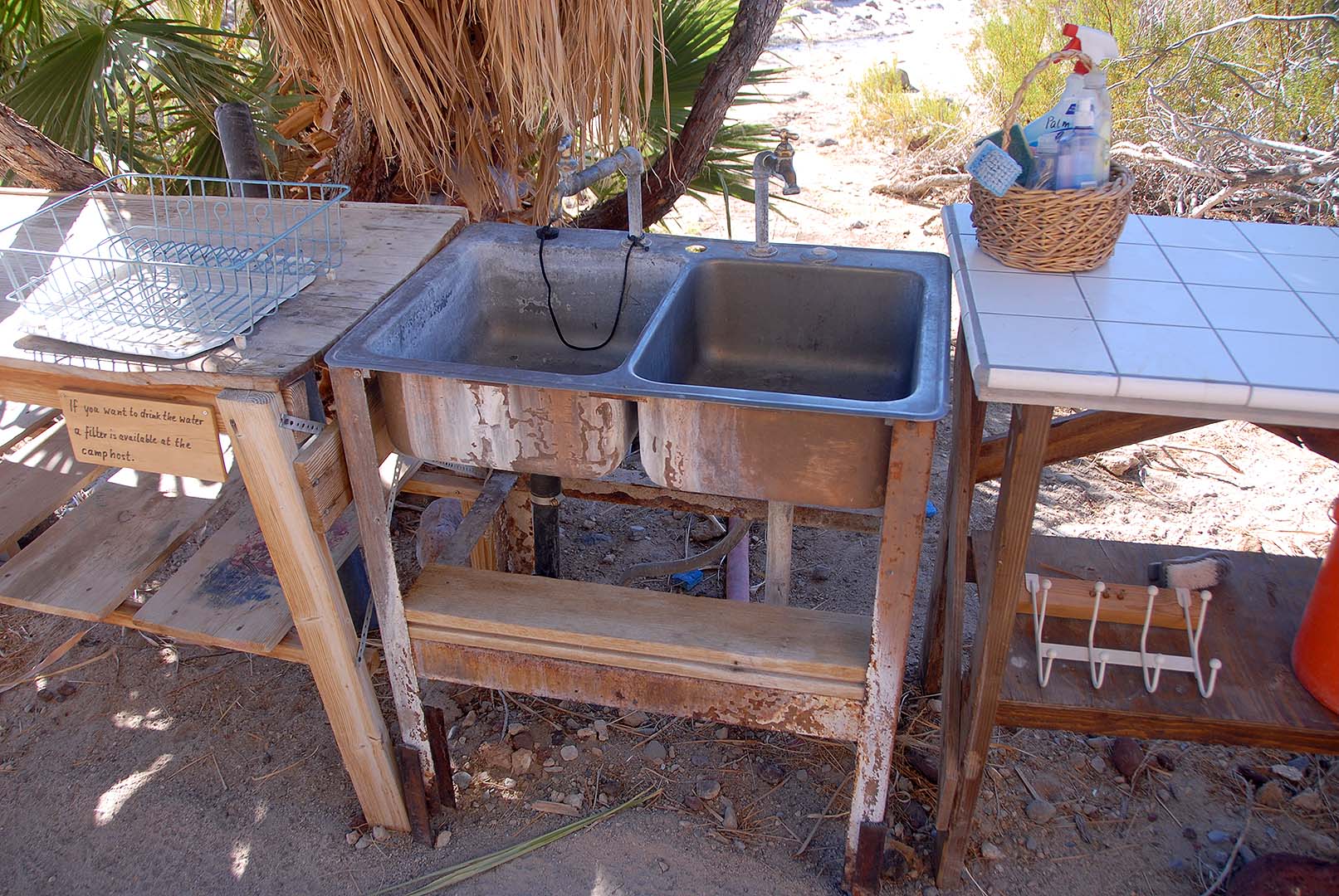 The camp sink has been equipped with a drain to carry the water away from the sink.
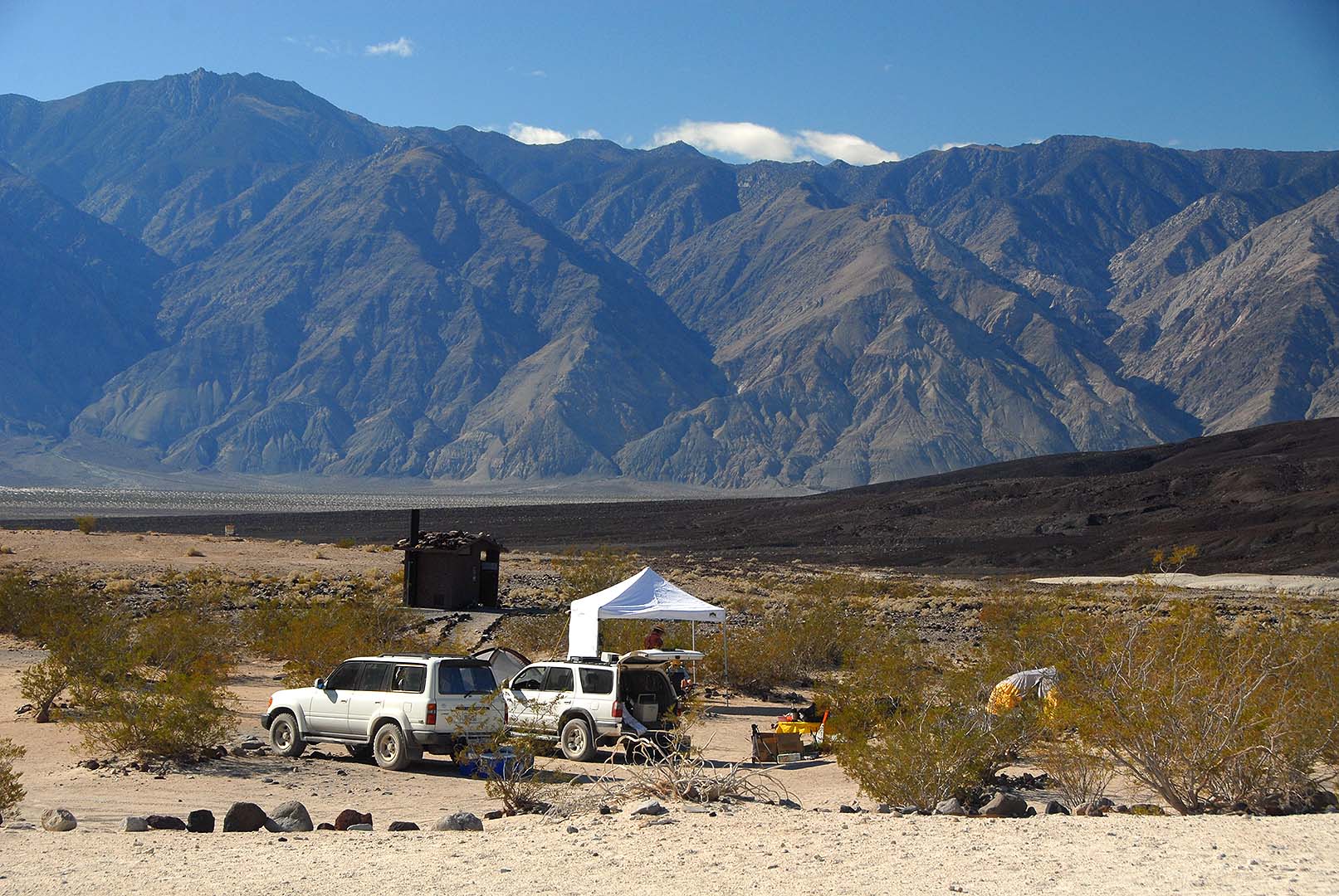
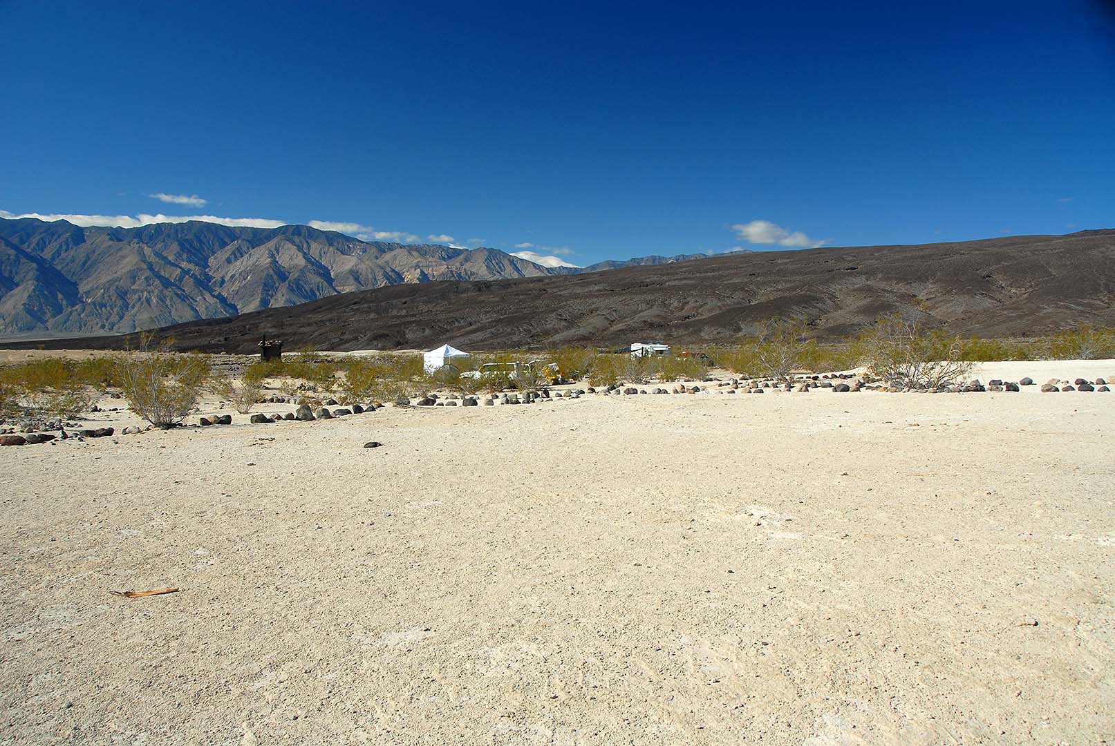 Palm Spring Camp.
 Palm Spring Camp.
 360-degree panorama of Palm Spring Camp.
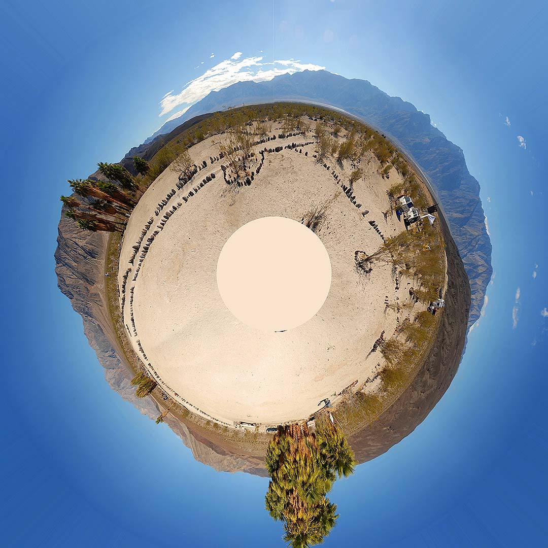 Little planet view of the Palm Spring Camp panorama.
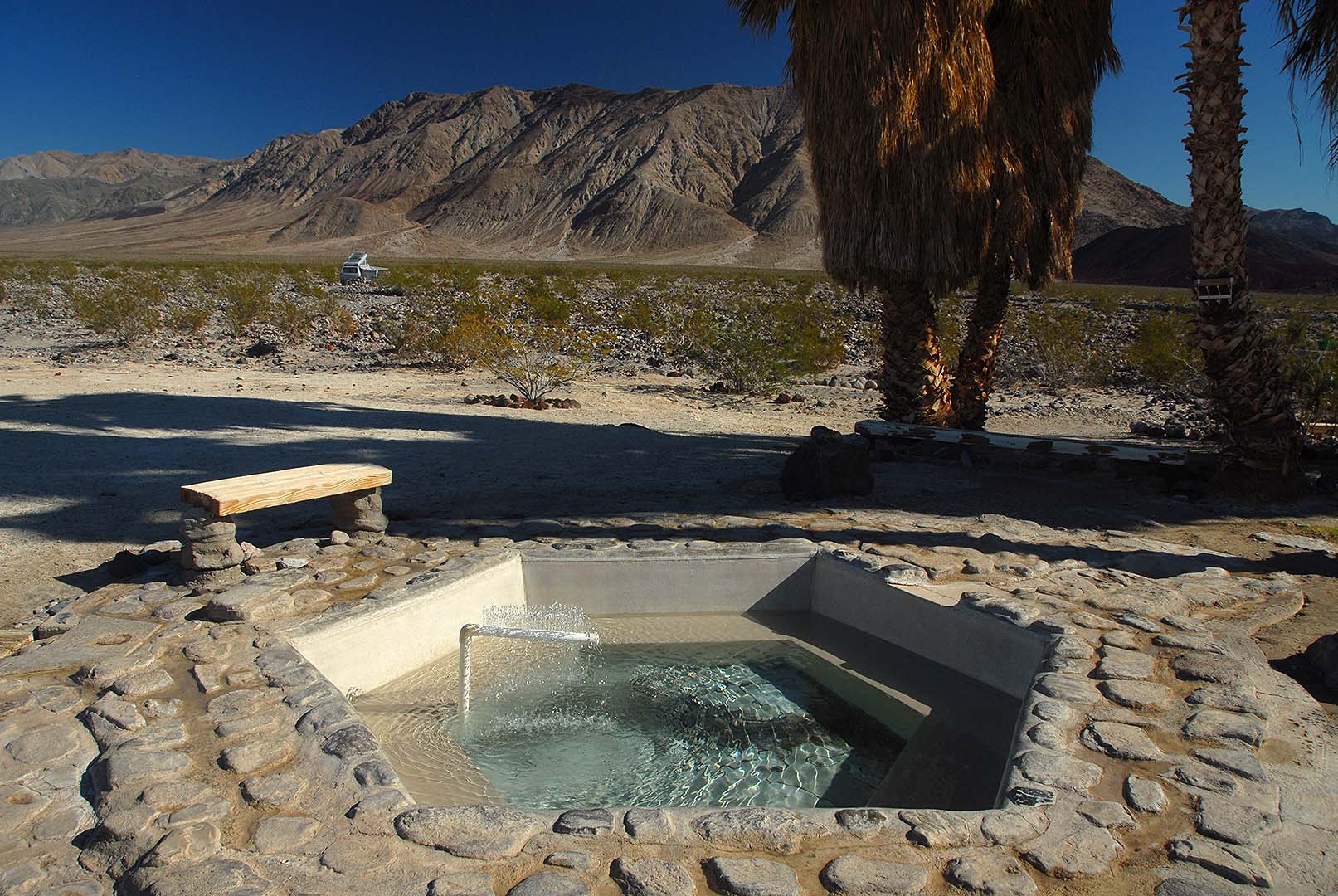 The main pool being refilled after cleaning. The camp host, George, assembled the fountain from PVC pipe to cool the water as the pool fills. Otherwise the temperature after filling can reach 110 degrees F.
 Palm Spring main pool
 Palm Spring main pool
 Palm Spring Volcano Pool
 View of our camp from the main pool.
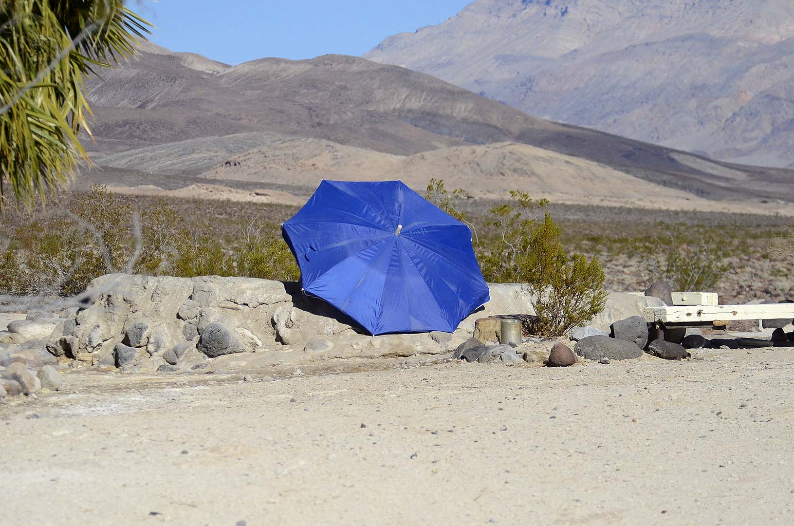 My friends bring this umbrella for shade in the pool.
 The age of the basalt flow in the foreground is a very small fraction of the age of the quartz rich intrusive volcanic rocks (Granite) in the background.
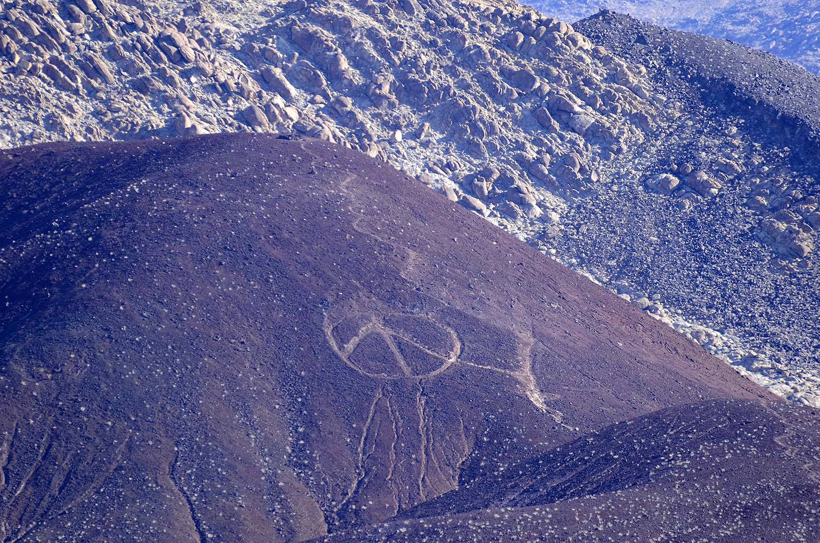 The peace sign on the cinder cone has been a landmark for decades. The cinder cone is one of the youngest geological features in the valley.
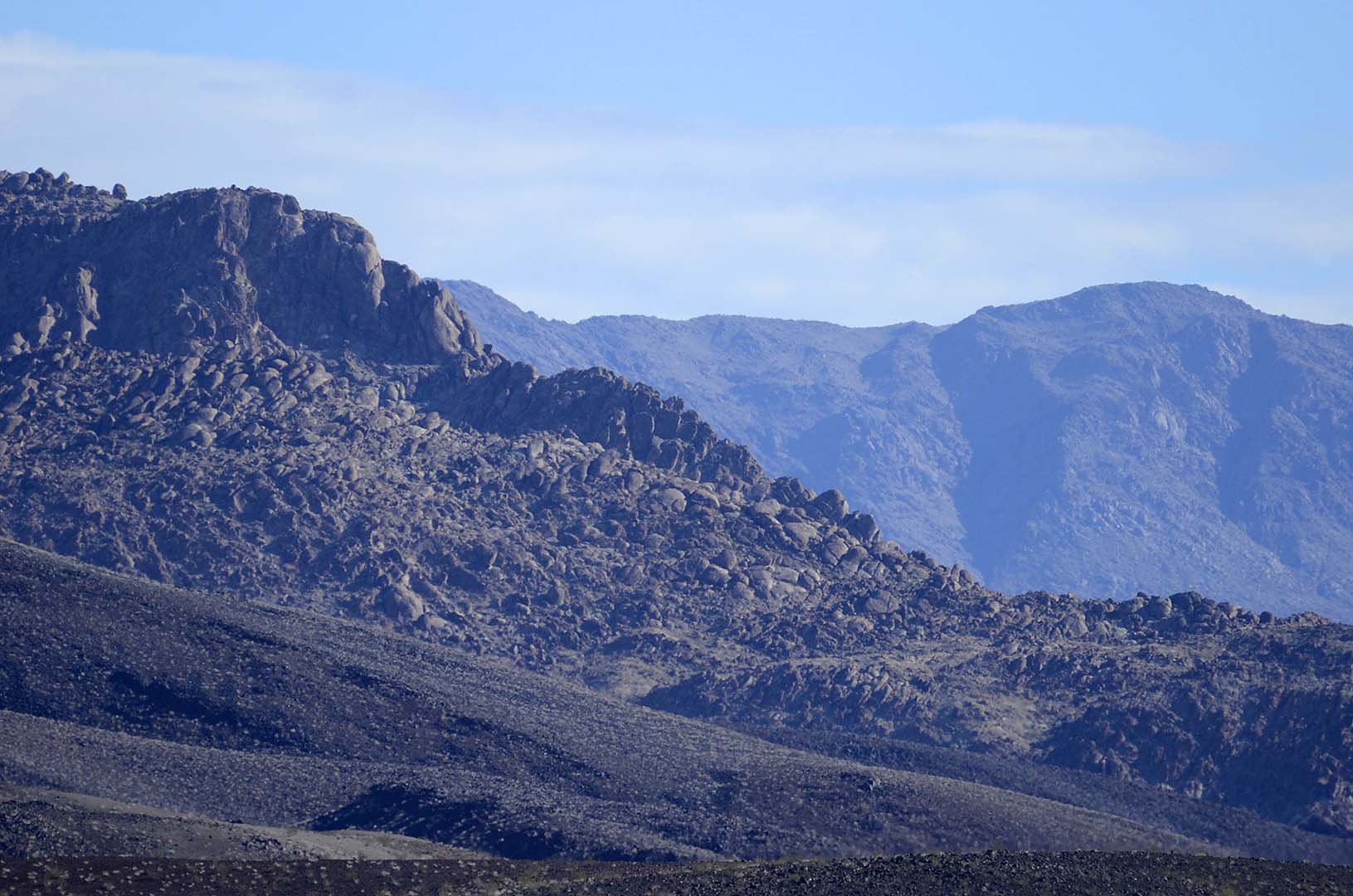
 The mountains east of camp are very young in geologic terms, just a few million nyears old. The have uplifted so quickly that headward erosion has not yet reached the top of the ridge.
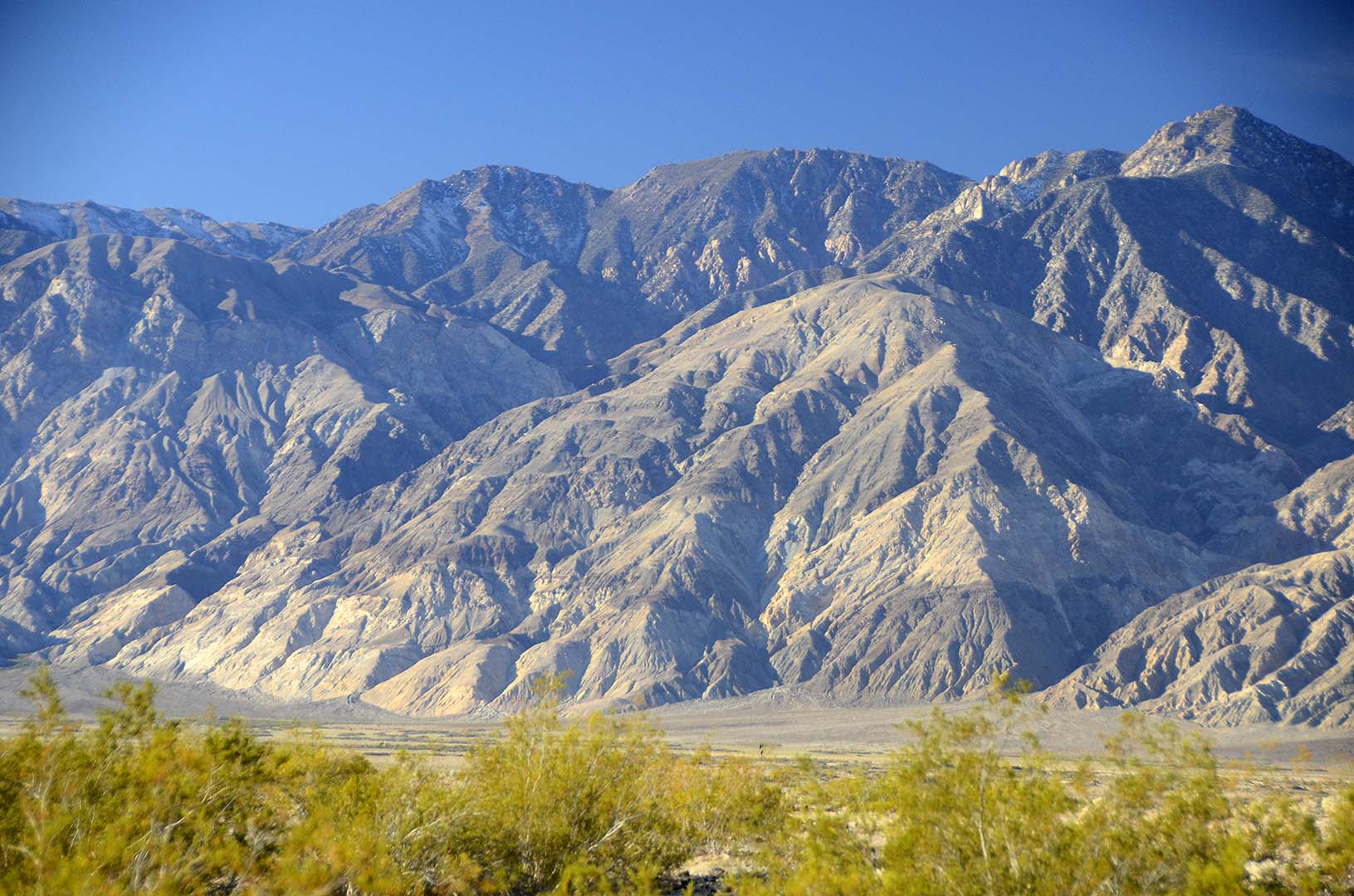 The Inyo Mountains in morning light.
Inyo Mountains, November 20, 2014. You can purchase prints of this photo as large as 16 inches by 24 inches.
 Palm Spring Volcano Pool
 Panorama of wave clouds forming over the Inyo Mountains.
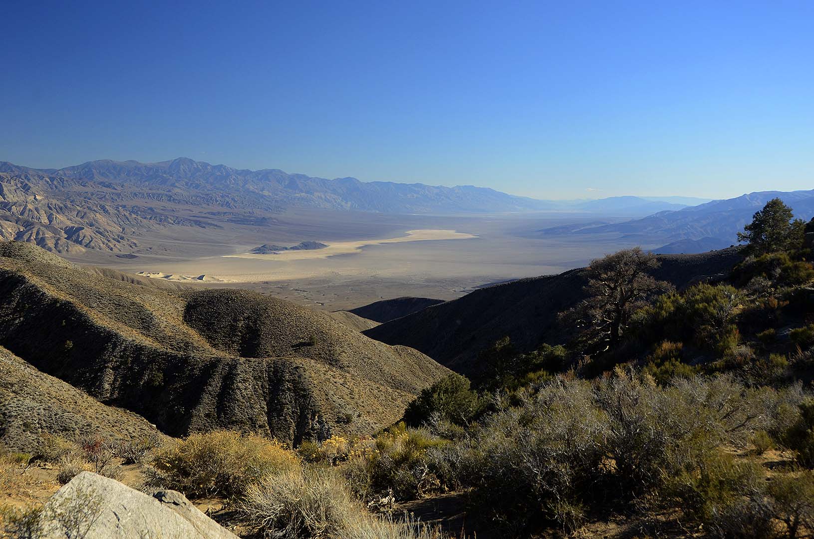
 Looking back at camp and the Eureka-Saline Corridor from the Saline Valley Byway.
 Palm Spring can be seen at far left. The larger clump of alm Trees is located at Lower Warm Spring.
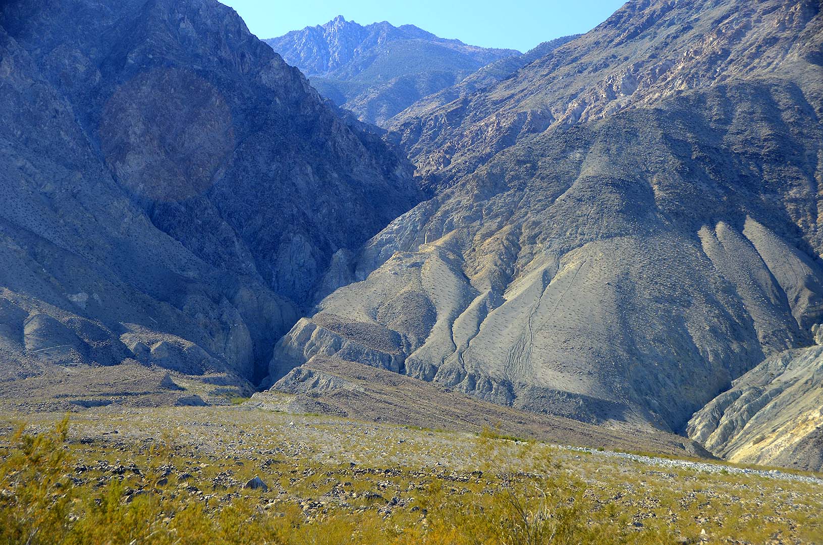 McElvoy Canyon
McElvoy Canyon, Saline Valley, November 21, 2014. You can purchase prints of this photo as large as 16 inches by 24 inches.
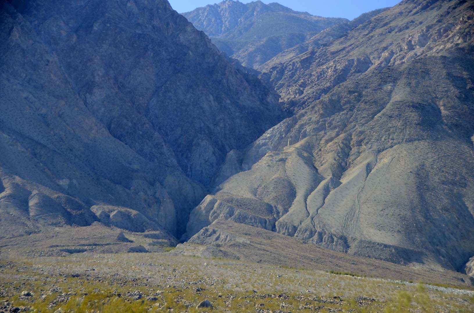 McElvoy Canyon
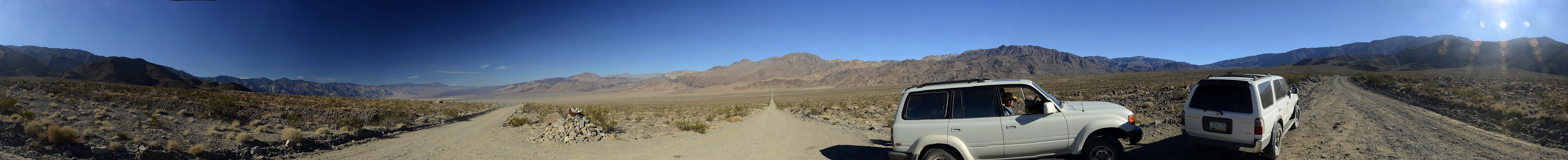 360-degree panorama of the Saline Valley from the Saline Valley Byway and the Lippincot Road.
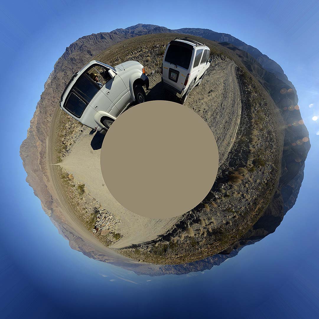 Little planet view of the 360-degree panorama of the Saline Valley.
 The Lippincot Road leads up a rugged canyon to the Lippincot Lead Mine and Racetrack Playa.
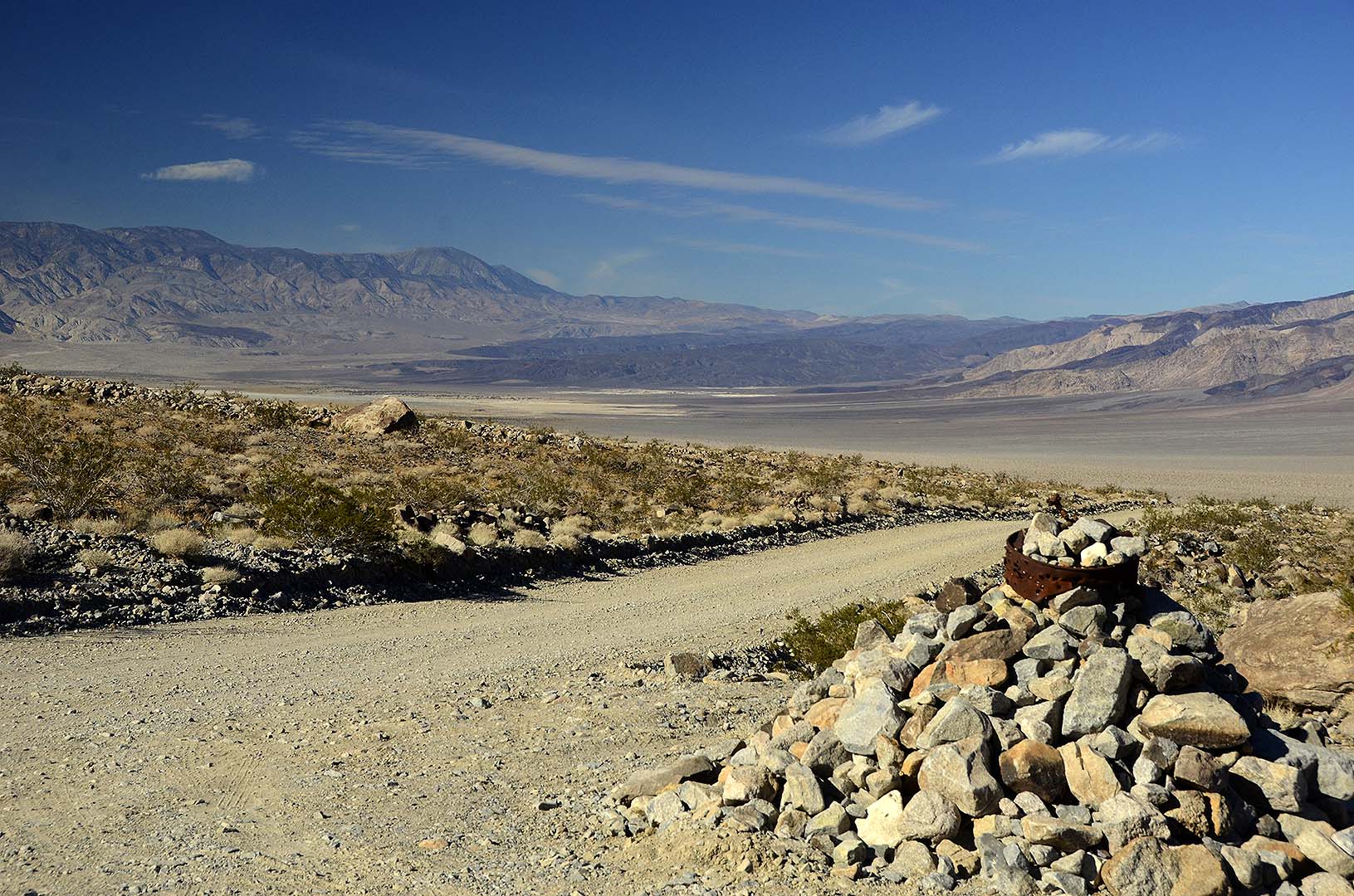 Looking back down the Saline Valley Byway.
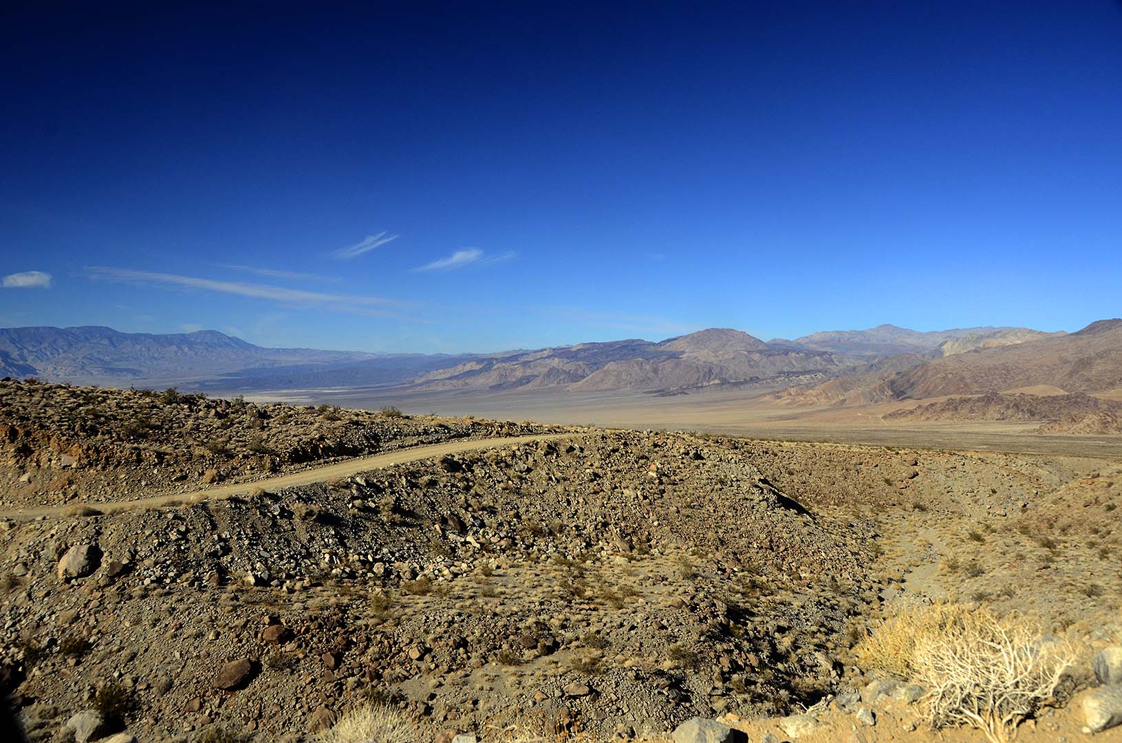 Saline Valley Byway
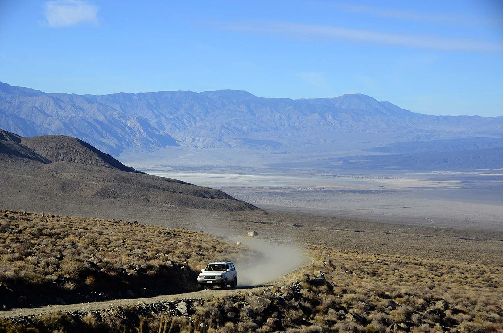 The Landcruiser climbs up the Saline Valley Byway.
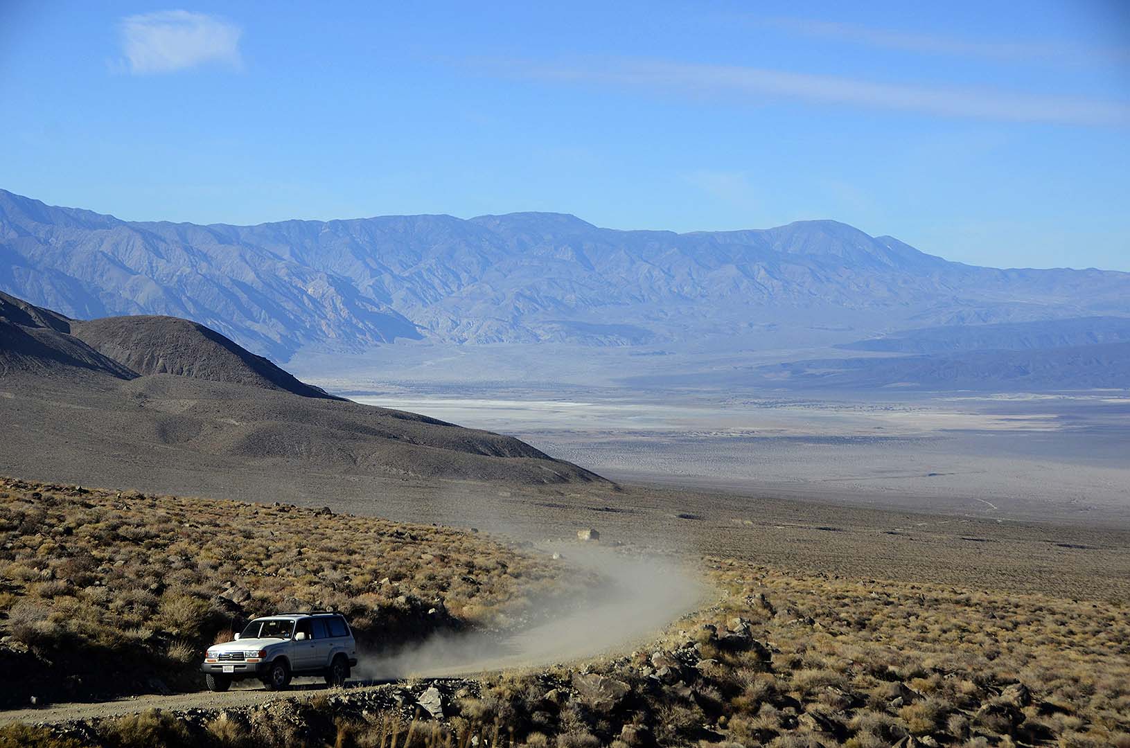 The Landcruiser climbs up the Saline Valley Byway.
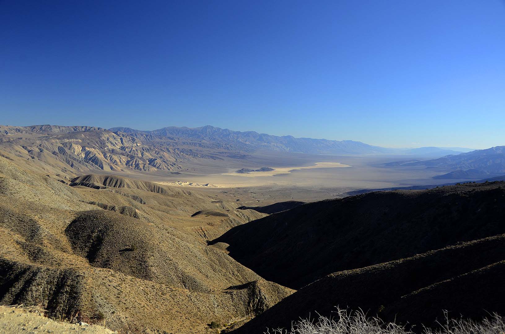
 Panamint Valley from the south pass out of the Saline Valley.
Panamint Valley, November 21, 2014. You can purchase prints of this photo as large as 16 inches by 24 inches.
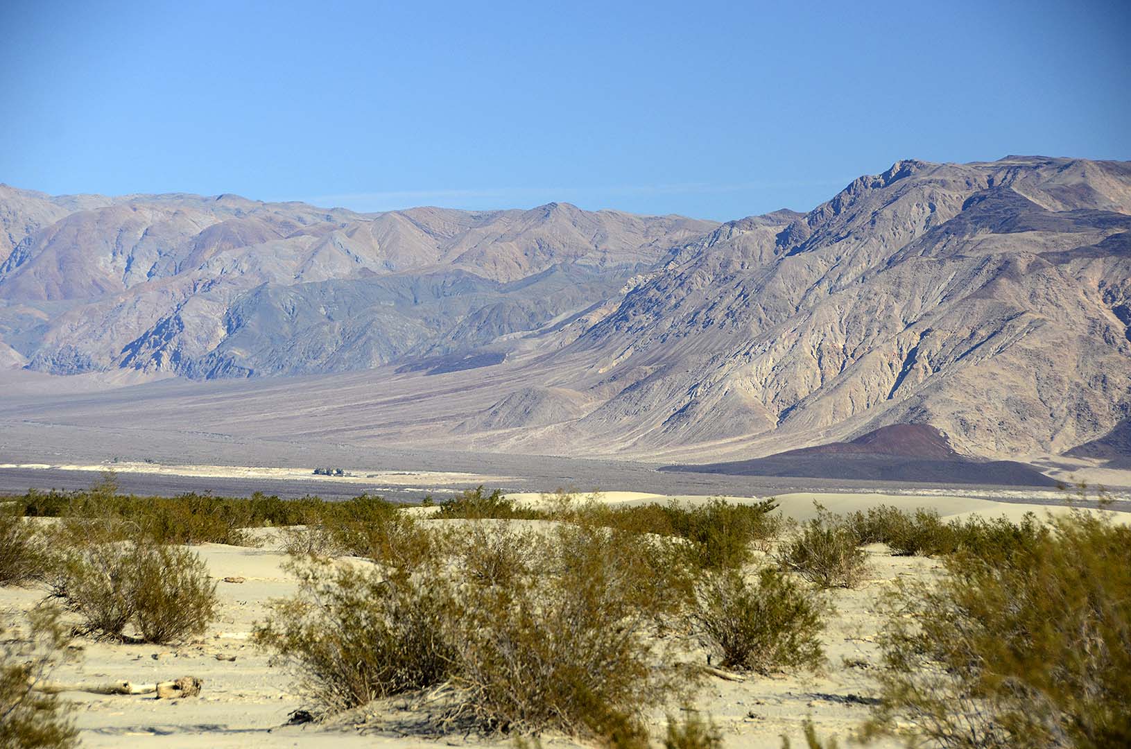
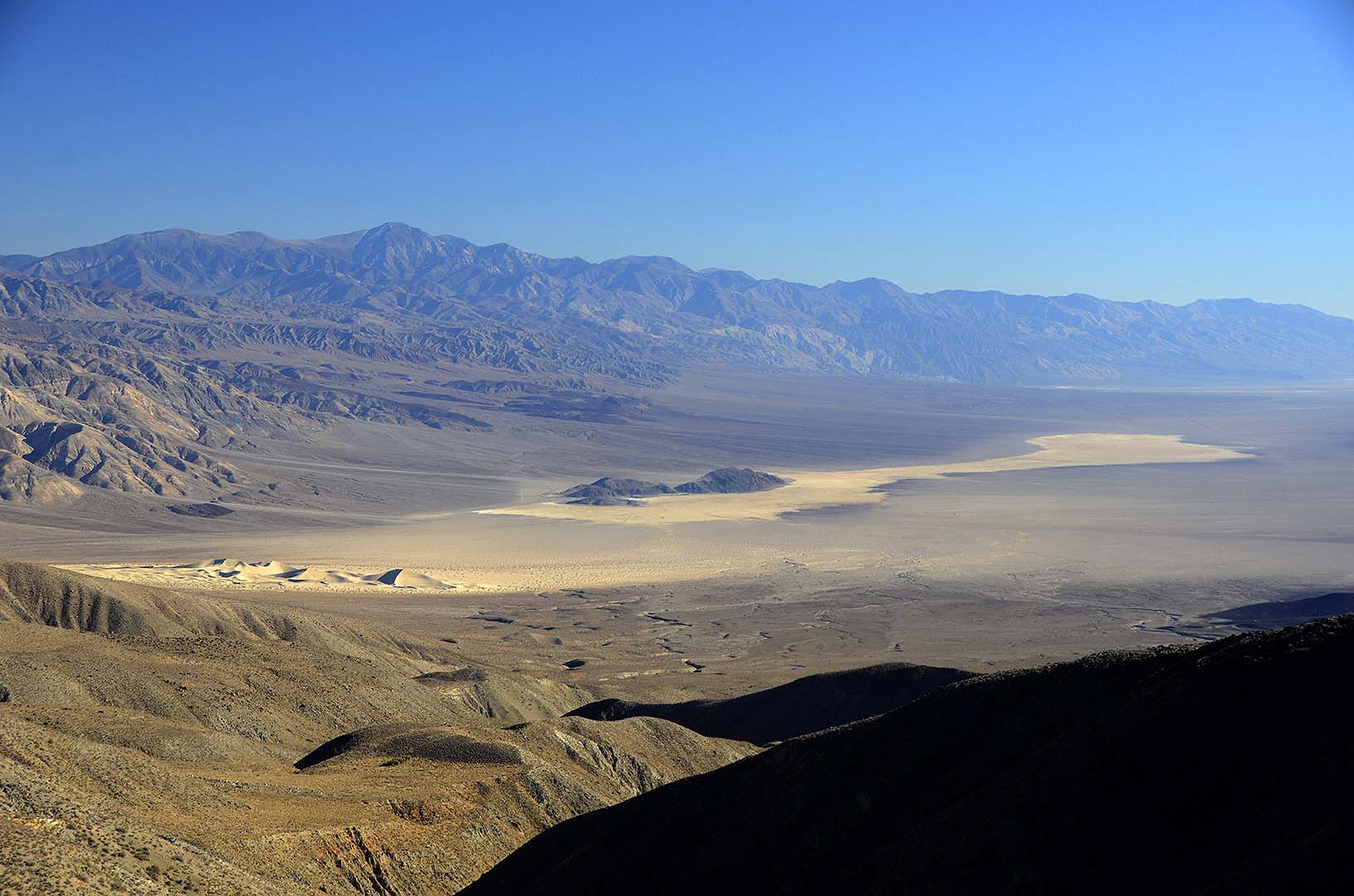
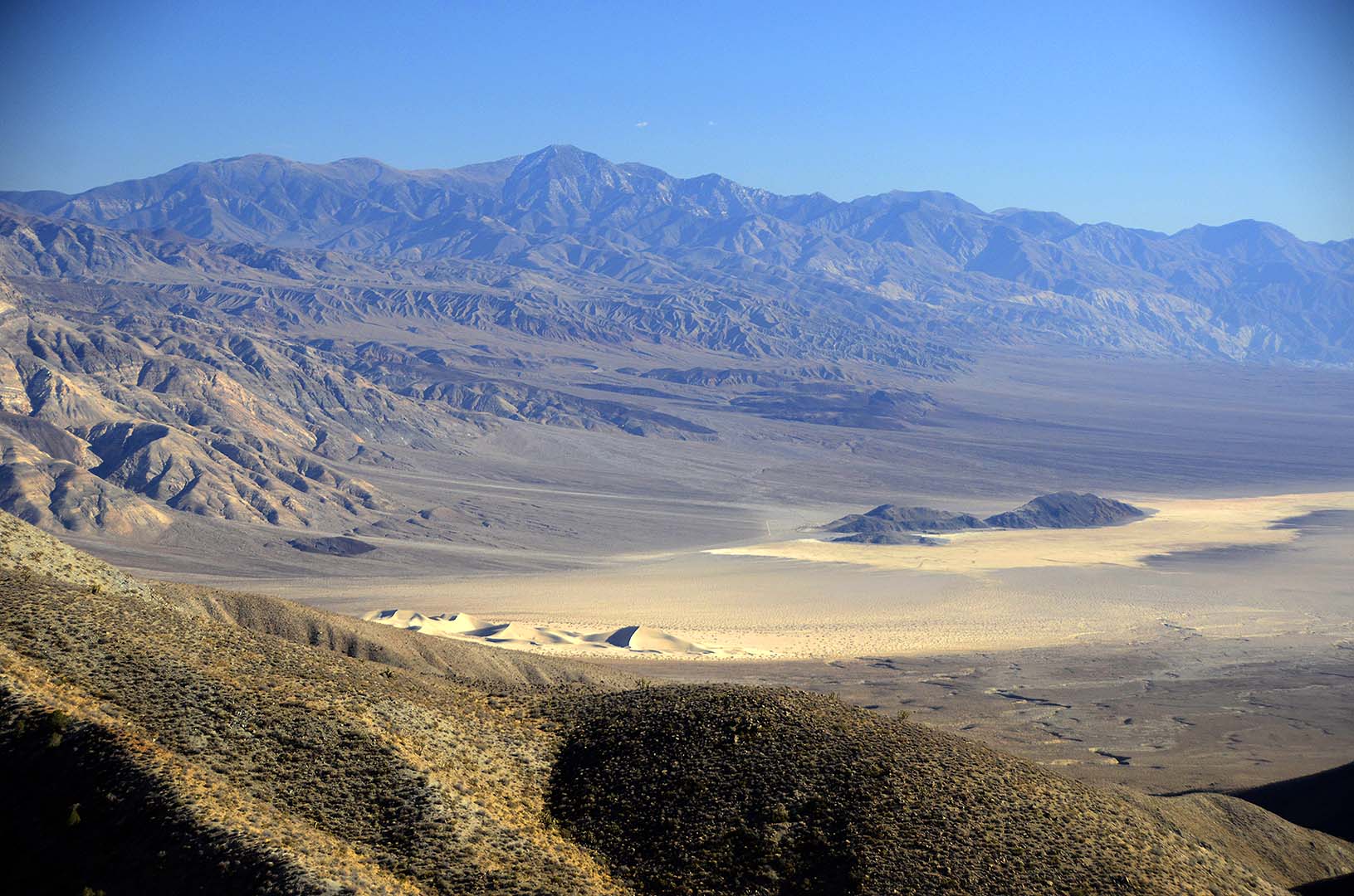 Panamint Valley
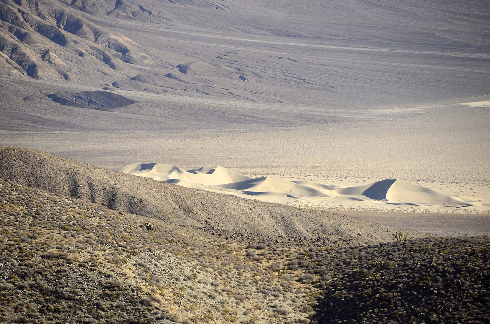 Panamint Valley Sand Dunes
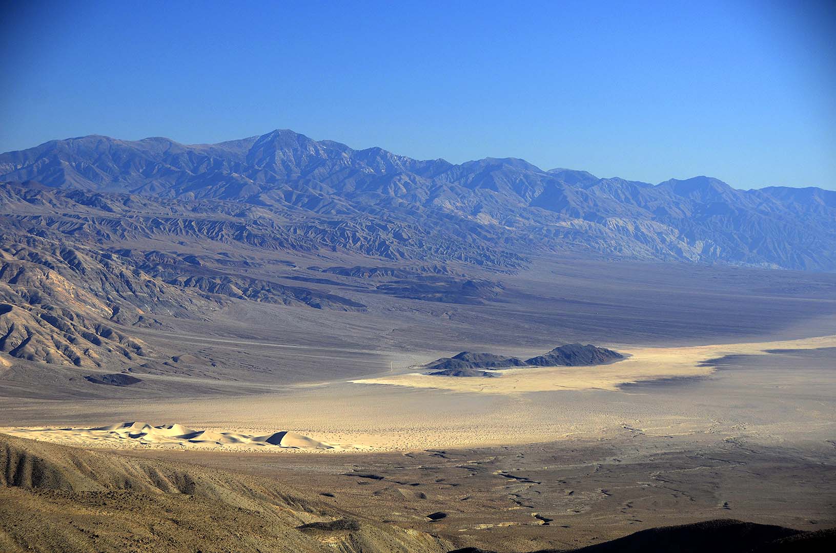
 Telescope Peak is the highest point in the Panamint Mountains at an elevation of 11,043 feet.
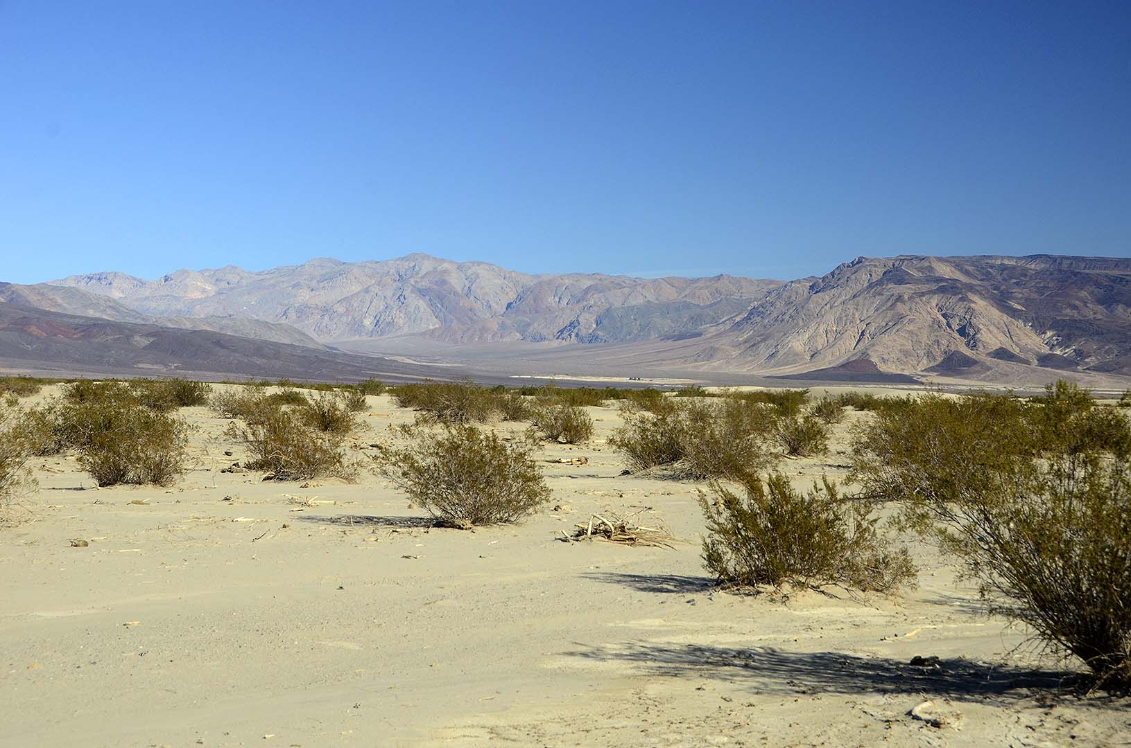
 Panamint Valley
 Panamint Valley
 Panamint Valley
Time lapse movies taken in the Saline Valley in Death Valley National Park from November 18 to November 21, 2014. The speed of the action has been increased by a factor of 240. Fifteen seconds of video shows one hour of real time
 Mojave Desert, California displays.
- advertisement -
You can buy a 2020 Calendar featuring my photographs of Californias High Desert.
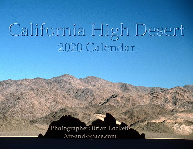
California High Desert locations include Owens Valley, Panamint Valley, Saline Valley and the Inyo Mountains.
 Put a copy of the California High Desert 2020 Calendar in your Lulu.com shopping cart for $14.95.
You can buy a 2020 Calendar featuring my photographs of the Mojave Desert.
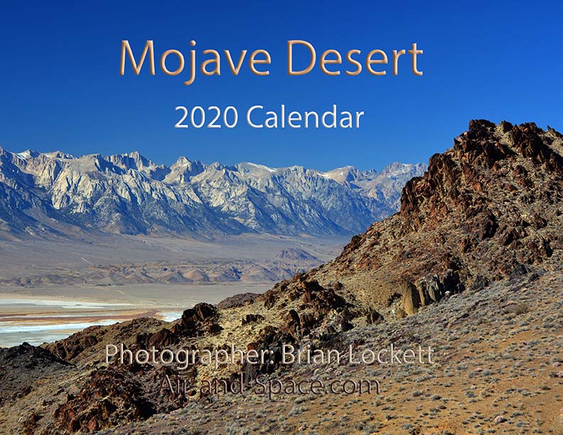
A dozen photos of the Mojave Desert. Locations include the Panamint Valley, the ghost town of Ballarat, the ghost town of Cerro Gordo, the Inyo Mountains, and the Saline Valley.
Put a copy of the Mojave Desert 2020 Calendar in your Lulu.com shopping cart for $14.95.
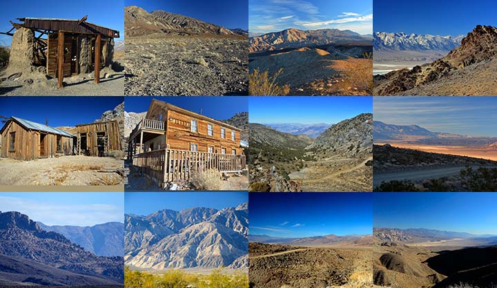
You can buy a 2020 Calendar featuring my photographs of the Saline and Panamint Valleys.
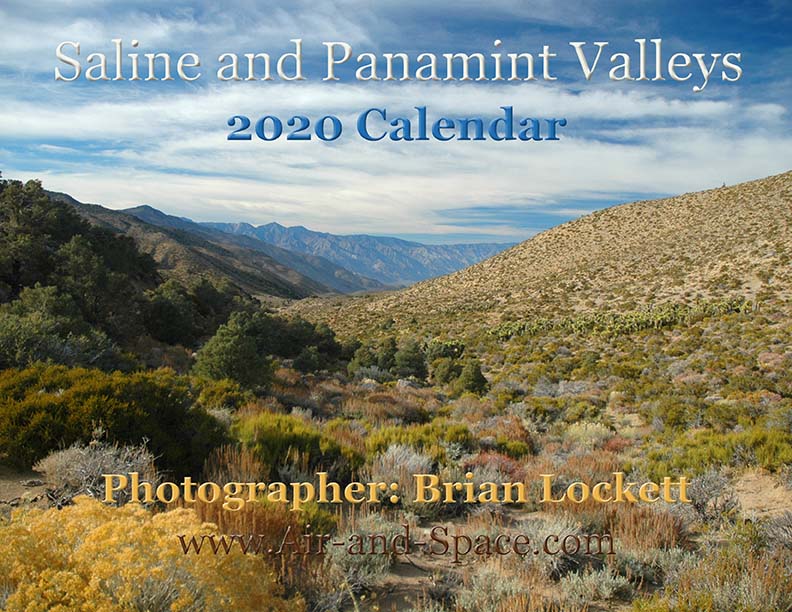
A dozen photos of the Saline and Panamint Valleys. The Saline Valley is a remote and beautiful part of Death Valley National Park. The primitive roads and utter lack of services make it one of the least visited parts of the park. I strongly recommend 4-wheel-drive, high-clearance vehicles to get there. We get a flat tire on nearly every trip. The Saline Valley is bounded on the west by the Inyo Mountains with peaks reaching over 11,000 feet. The bottom of the valley floor is at an elevation two miles below the peaks of the Inyos. The lowest pass out of the valley is almost 4,000 feet higher than the almost dry lakebed.
Put a copy of the Saline and Panamint Valleys 2020 Calendar in your Lulu.com shopping cart for $14.95.
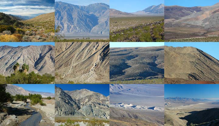
You can buy a 2020 Calendar featuring my photographs of Inyo County Mountains.
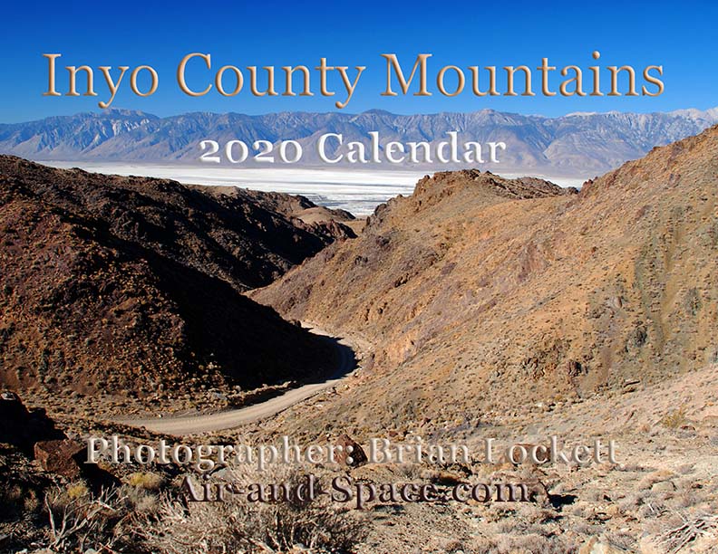
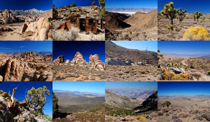
A dozen photos of mountainous terrain in Inyo County. Locations include:
Alabama Hills
Papoose Flat Road in the Inyo Mountains,
Hines Road in the Inyo Mountains,
Cerro Gordo in the Inyo Mountains,
Lee Flat, and
Hunter Mountain.
Put a copy of the Inyo County Mountains: 2020 Calendar in your Lulu.com shopping cart for $14.95.
You can buy a 2020 Calendar featuring my photographs of the Basin and Range province in eastern California.
A dozen photos of the Basin and Range province in eastern California. Locations include:
Barber Point in the Inyo Mountains,
Papoose Flat in the Inyo Mountains,
Harkness Flat in the Inyo Mountains,
Panamint Valley,
Ballarat ghost town,
Owens Valley, and
Trona Pinnacles.
Put a copy of the California Basin and Range: 2020 Calendar in your Lulu.com shopping cart for $14.95.
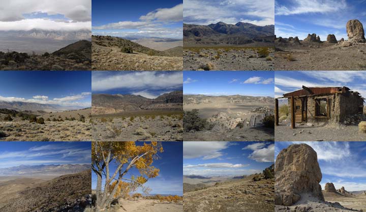
You can buy a 2020 Calendar featuring my very wide angle photographs of eastern California, from the Sierra Nevada to Death Valley. The photos are 9-1/2" x 13-1/2".
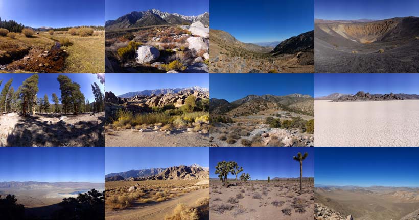
A dozen very wide angle 9-1/2" x 13-1/2" photographs of eastern California, from the Sierra Nevada to Death Valley.
Horseshoe Meadow
Owens Valley
Whitney Portal
Alabama Hills
Cerro Gordo
Holiday Mine, Inyo Mountains
Lee Flat
Ubehebe Crater
Racetrack Playa
Ulida Flat from Hunter Mountain
Put a copy of the Wide Open Spaces of California: 2020 Calendar in your Lulu.com shopping cart for $23.95.
You can buy a 2020 Calendar featuring my Little Planet photographs. The photos are 9-1/2" x 13-1/2".

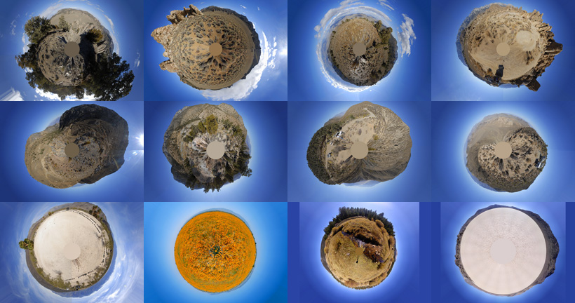
A dozen 9-1/2" x 13-1/2" 360-degree panoramas wrapped in a circle to make little planets. Locations include Antelope Valley, Saline Valley, Hunter Mountain, Racetrack Playa, Horseshoe Meadow, and the Inyo Mountains.
Put a copy of the Little Planets: 2020 Calendar in your Lulu.com shopping cart for $23.95.
- advertisement -
Follow @BrianLockett on Twitter for updates on the releases of my new calendars, books, and prints. Watch for coupon codes for special savings on my books and calendars at Lulu.com.
Follow Brian Lockett on Google+.
Follow Brian Lockett on FaceBook.
Visit my channel on YouTube.
Send a message to Brian.